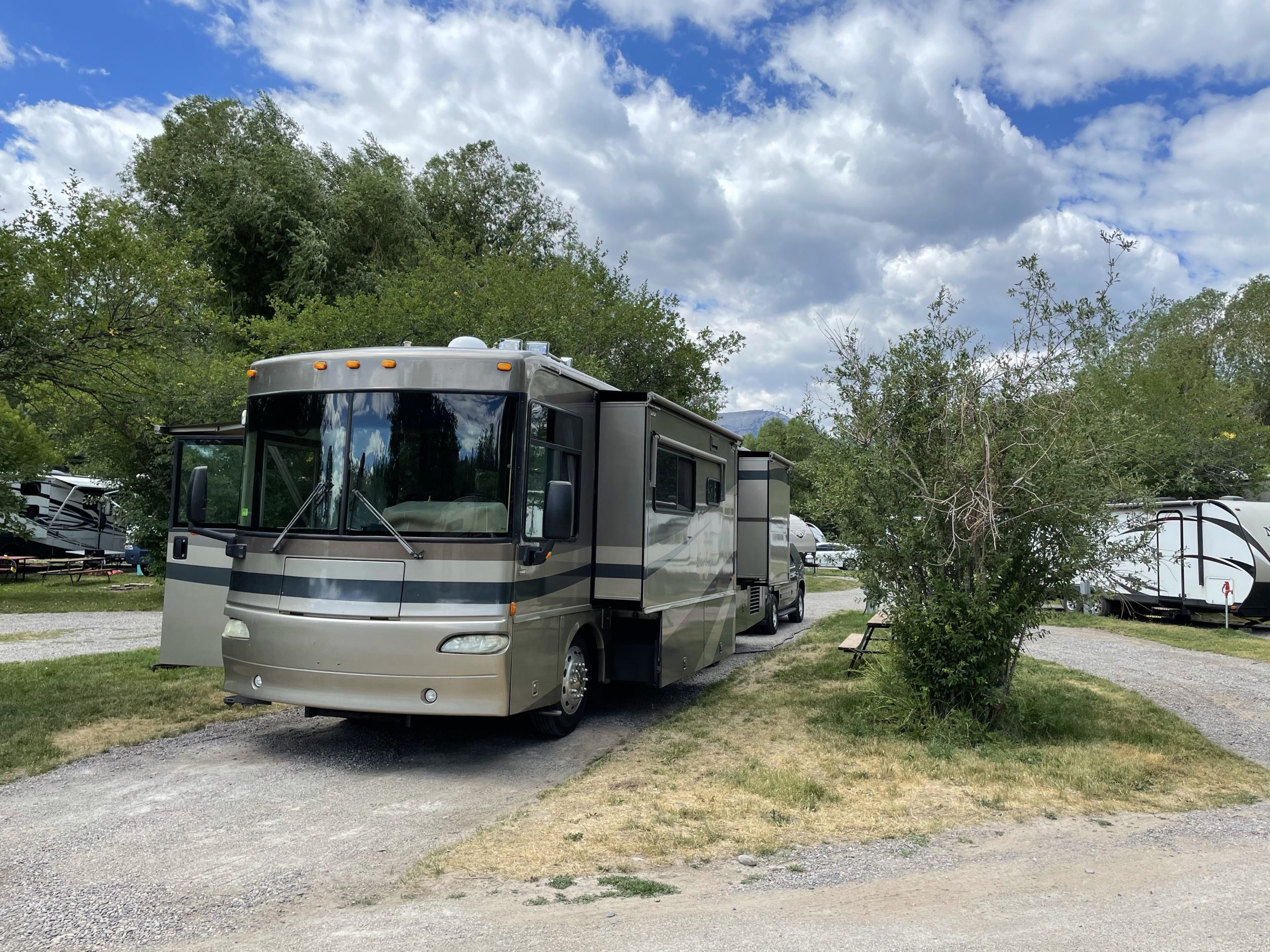
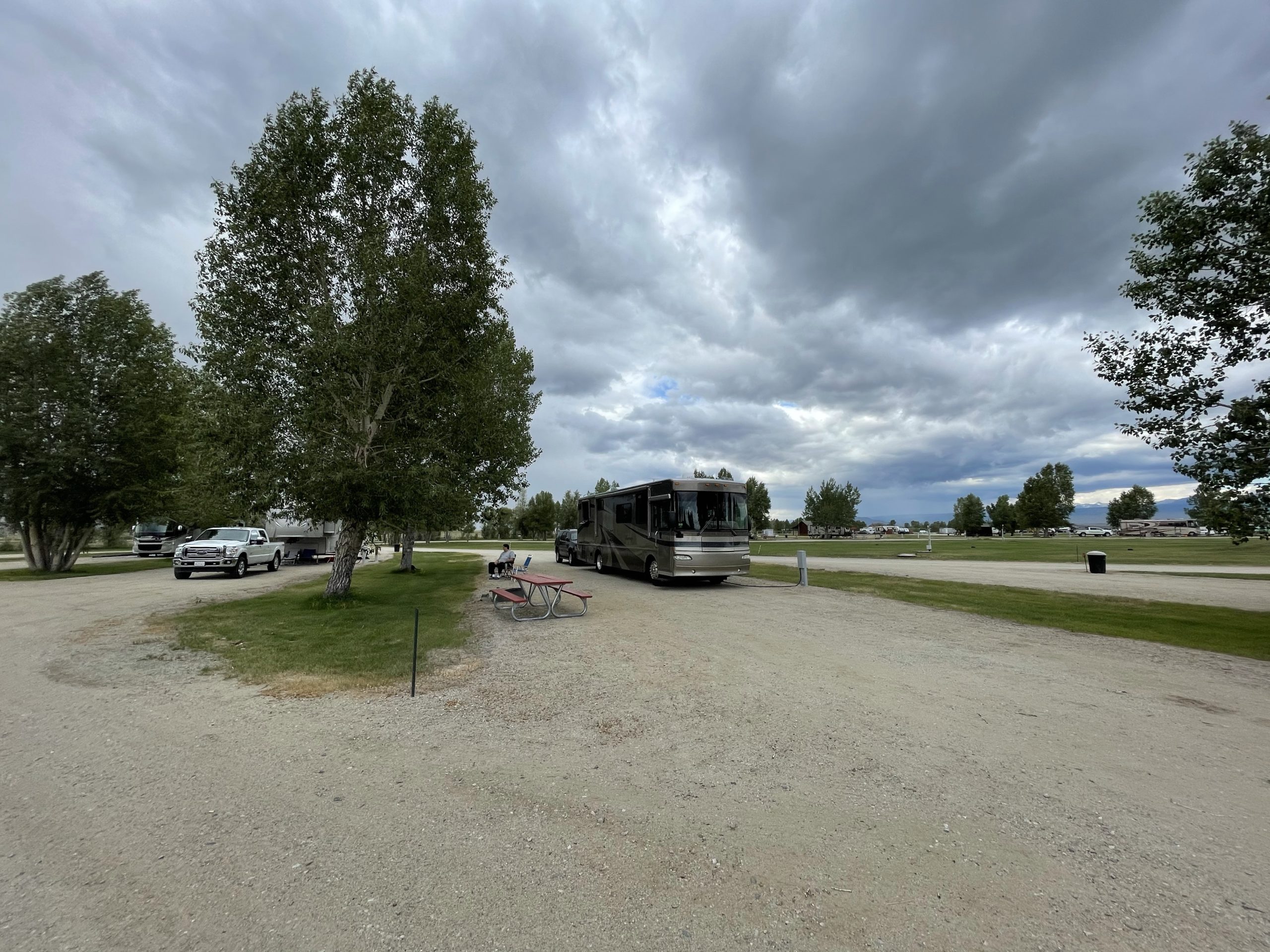
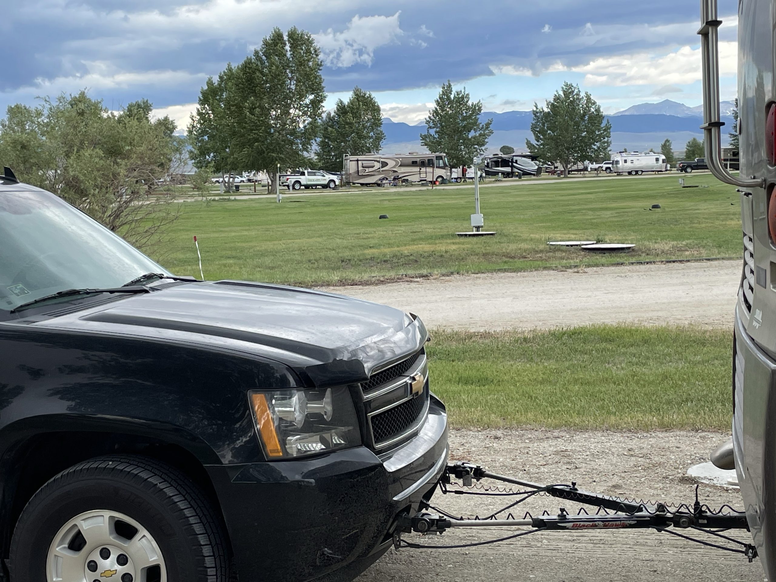
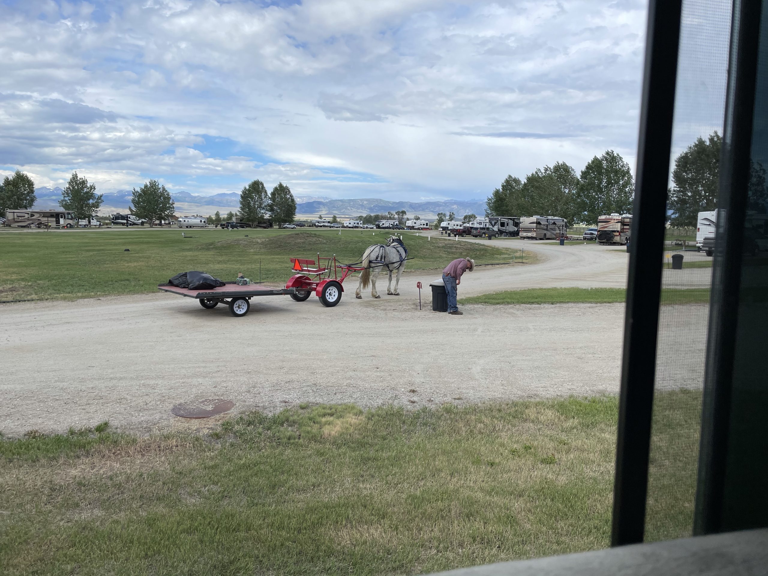
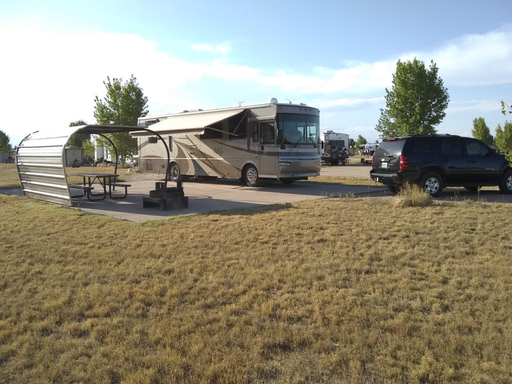
We departed from the Craig KOA at 9:00AM MDT and headed North to the KOA in Bar Nunn, WY which is just North of Casper (240 miles). We stopped for fuel at a Maverik station in Rawlins, WY just after getting off I-80 to take US-287 North. On the way through Casper we stopped off at Walmart to stock up on supplies and I got a haircut at the Great Clips just across from the parking lot.
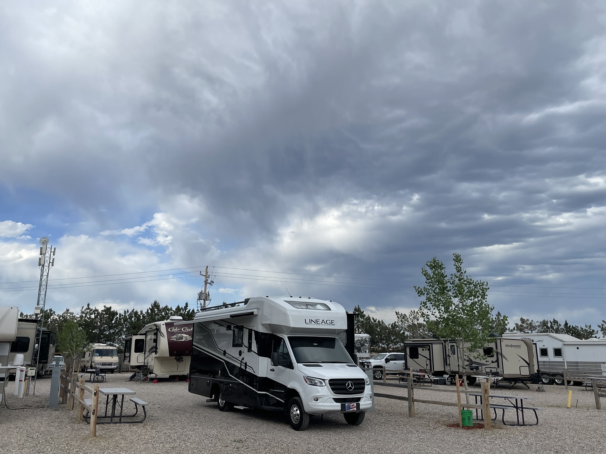
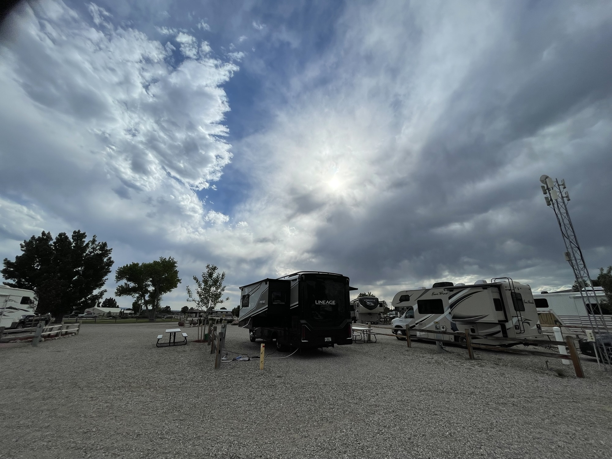
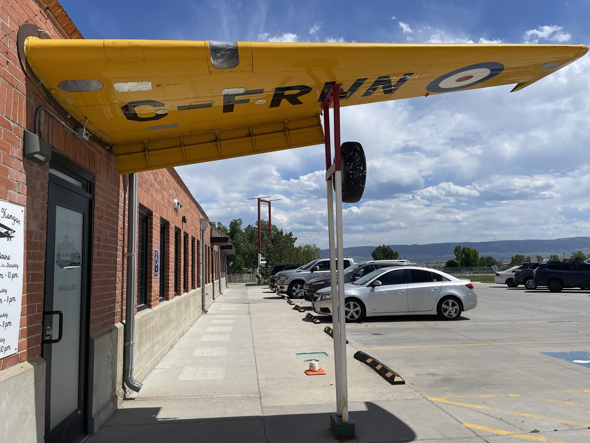
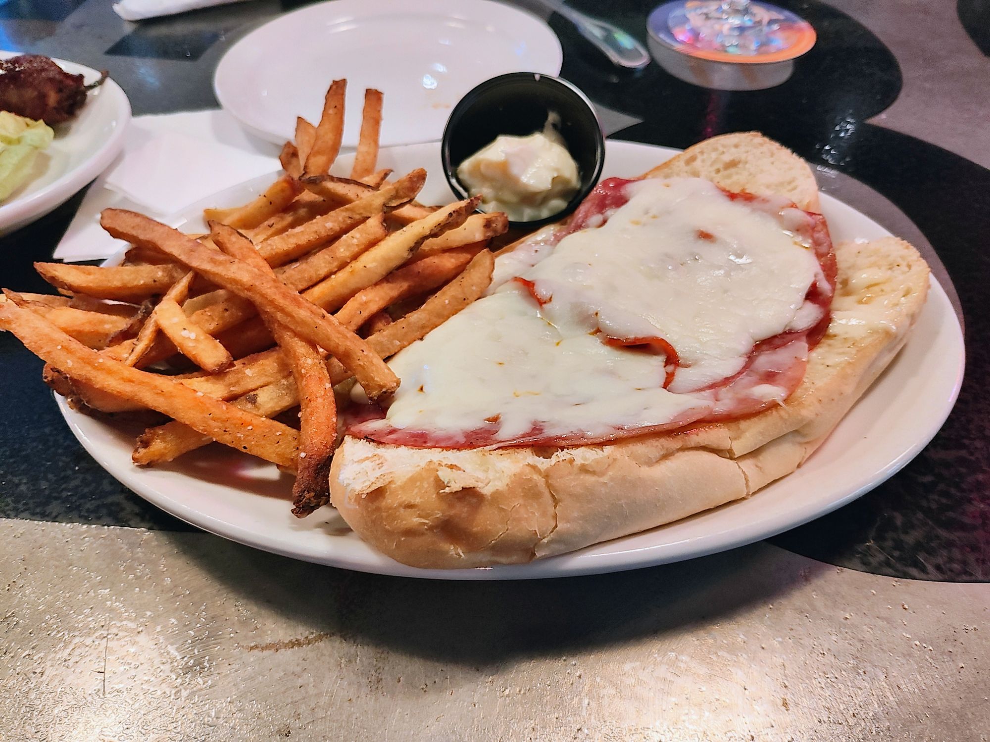
We arrived at the KOA at 2:00PM MDT. There’s nothing special about this KOA, other than it looks like Wyoming (no grass, but some trees). It’s just a quick overnight stop as we make our two day journey to the Black Hills. It is, however, right across the street from The Hangar Bar & Grill which is located in the old hangar for the original Casper airport. After a long day of driving (for us) we felt like we deserved a meal out to commiserate over my hair loss earlier in the day. We chose wisely for our second sit down meal in nearly 4,000 miles. The food was great, our bartender was very friendly (and could mix my girlie drinks), and the aeronautical atmosphere was neat.
June 29, 2021 – Touring the Grand Teton National Park
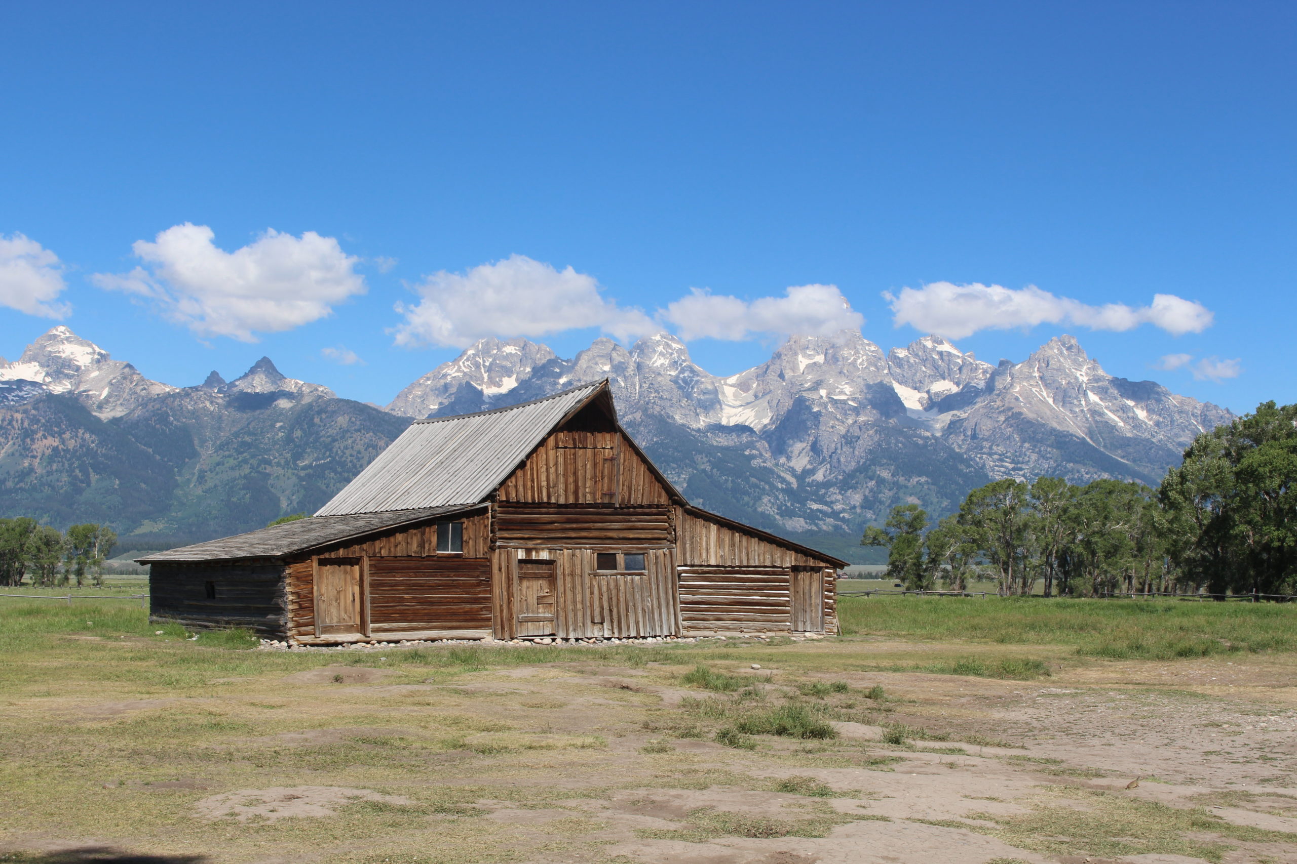
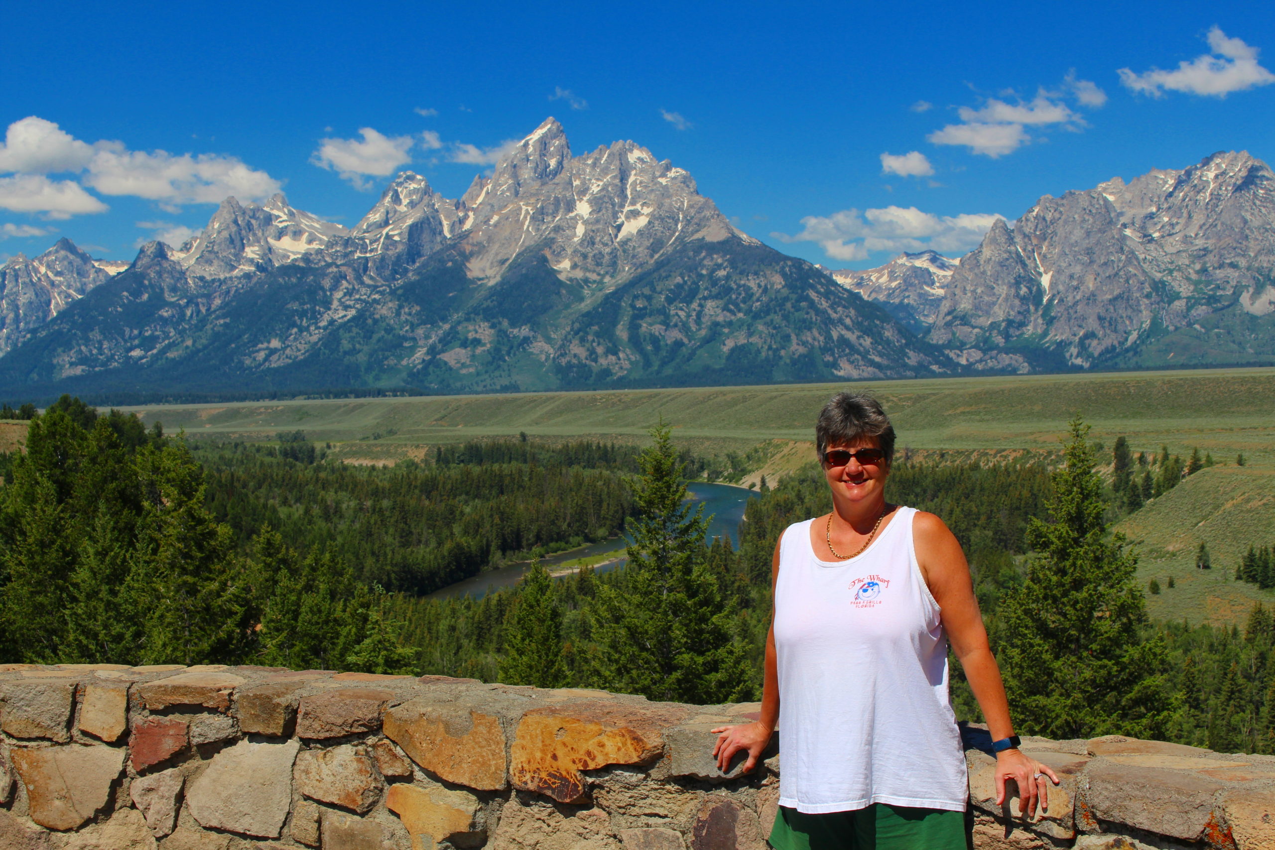
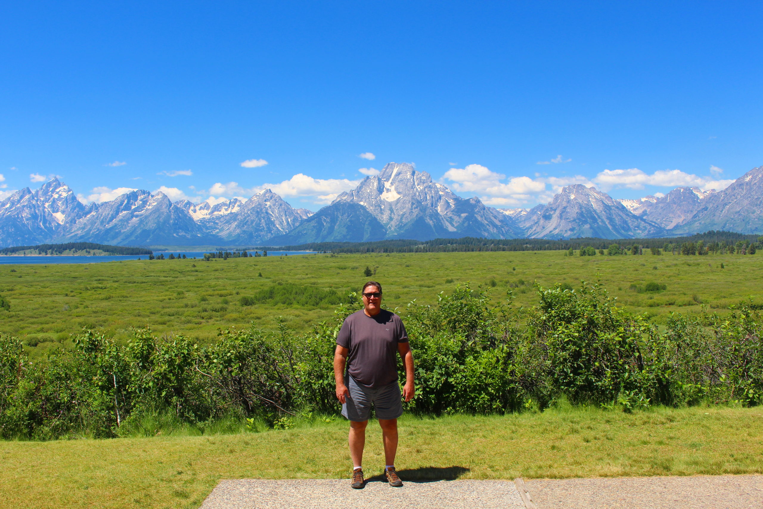
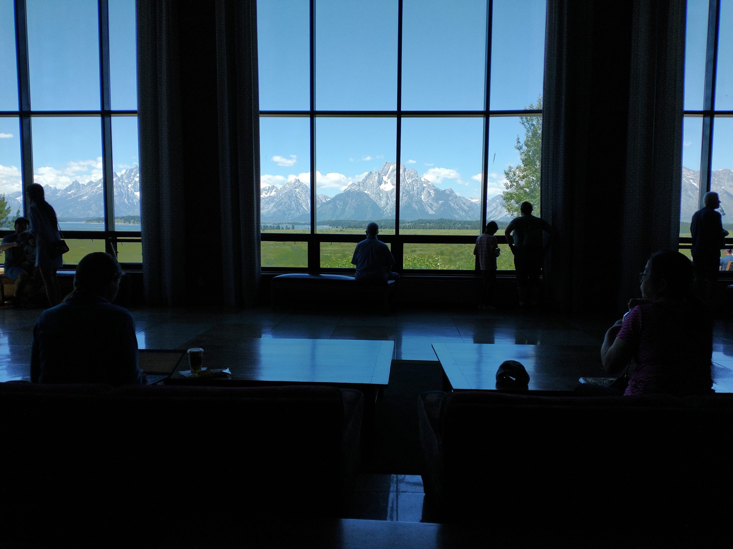
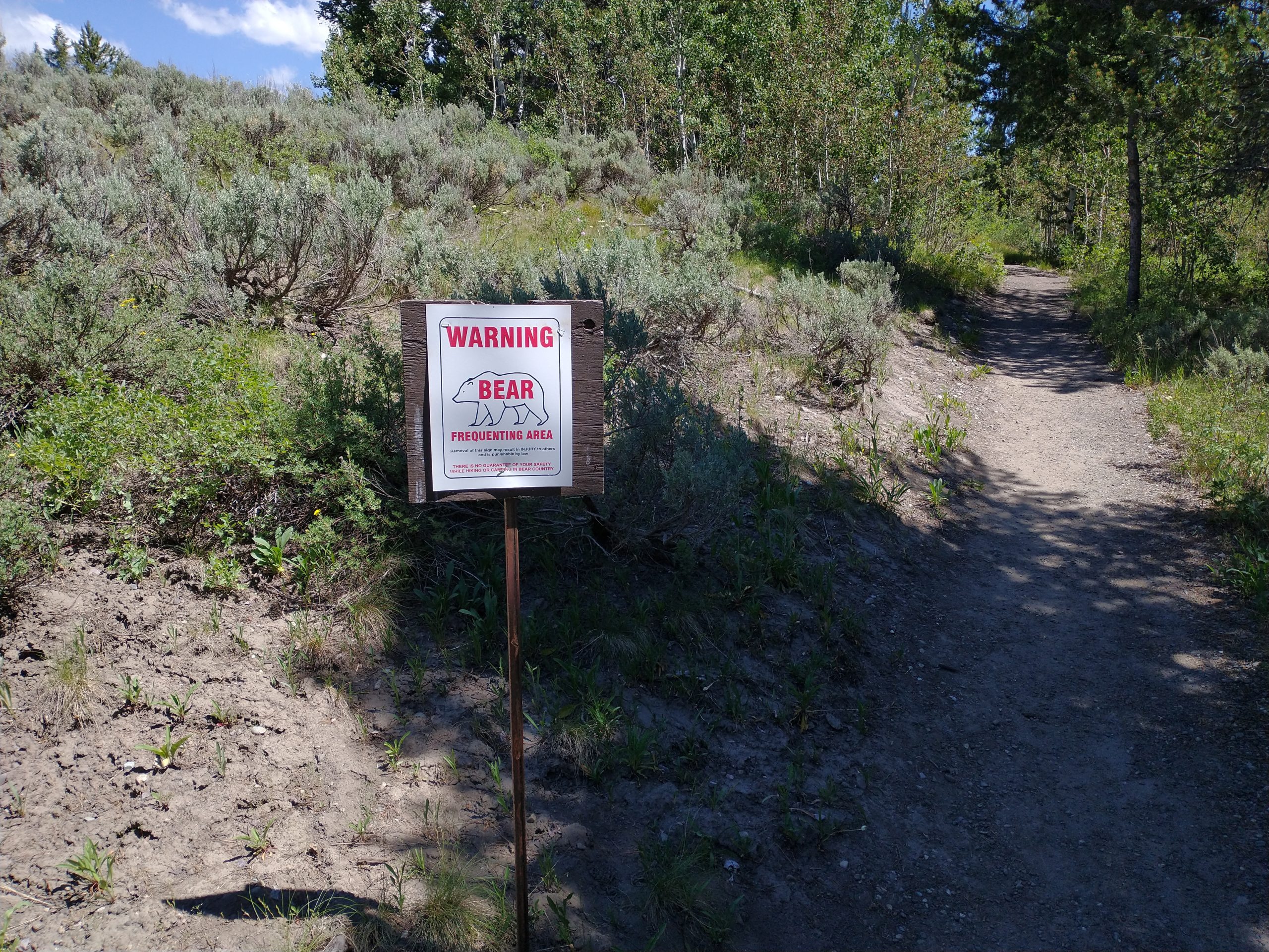
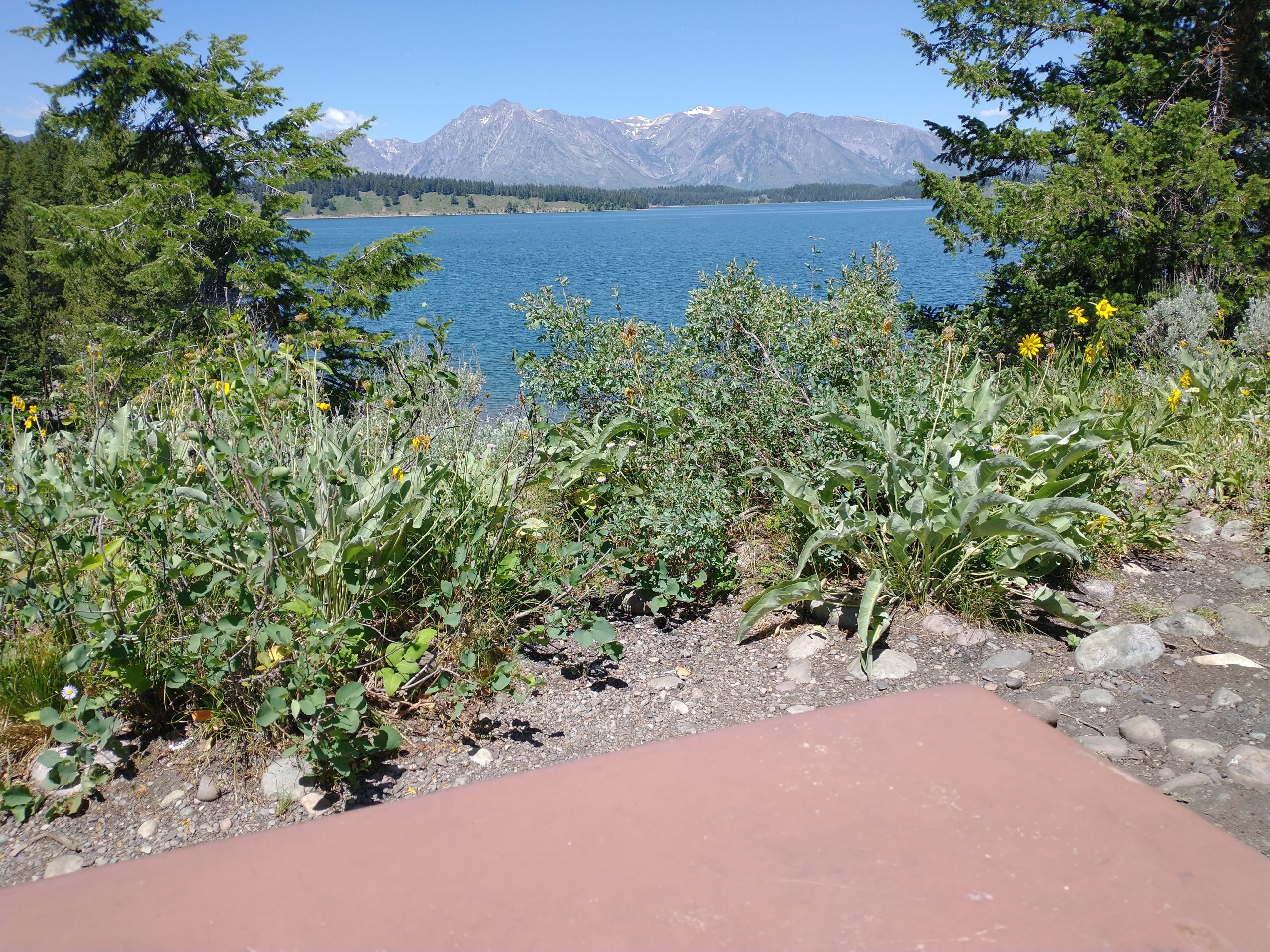
On Monday and Tuesday (6/28 – 6/29) we toured Grand Teton National Park. On Monday we drove to numerous scenic overlooks and took in the incredible sites. The first place I wanted to go was Mormon Row to get pictures of the old barns with the mountains in the background. We slowly headed north on US-191, stopping at the scenic overlooks along the way, until we reached the Jackson Lake Lodge. The lodge is not quite as impressive as the lodges in places like Yellowstone and Glacier, but it doesn’t need to be because the view from the lobby overlooking Jackson Lake and the mountains is incredible. We sat down in the lobby and enjoyed the view for a while. On our way out the back, we saw a hiking trail. I felt like my foot was ready to try a short hike, but they had posted a “Bear Frequenting the Area” notice at the trailhead and although my foot does feel a lot better, I’m afraid Beth still might be able to outrun me, so I voted to skip the hike. On the way back we took Teton Park Road which follows the lakes and stays closer to the base of the mountain range. We stopped for lunch at the Catholic Bay Picnic Area overlooking Jackson Lake. After lunch we saw a couple of moose in the creeks along Moose Wilson Road (imagine that) on our trip home.
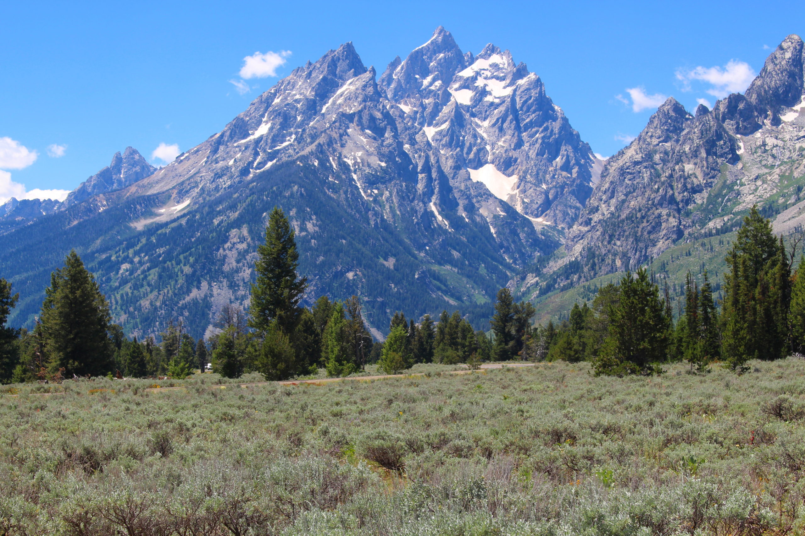
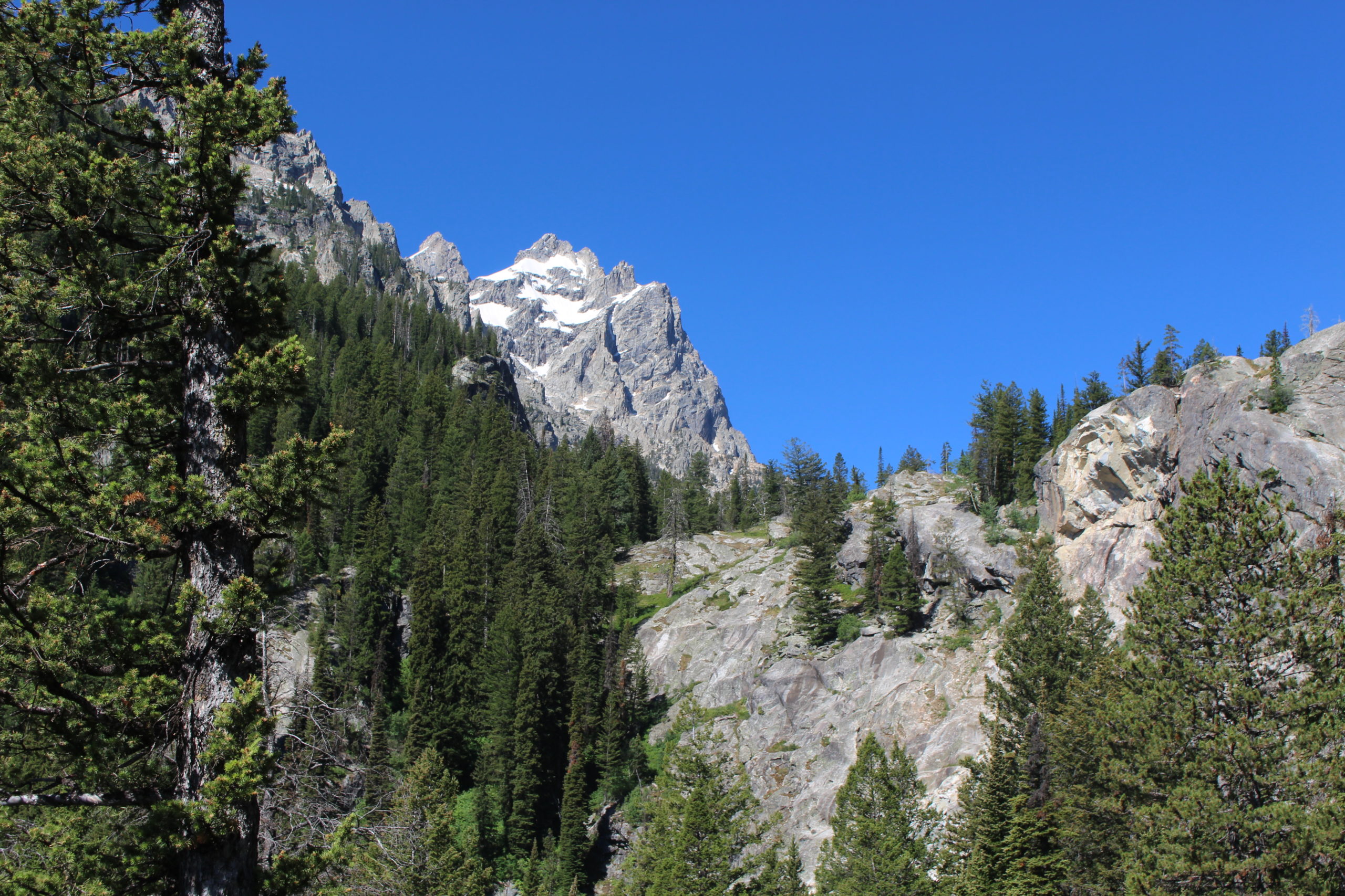
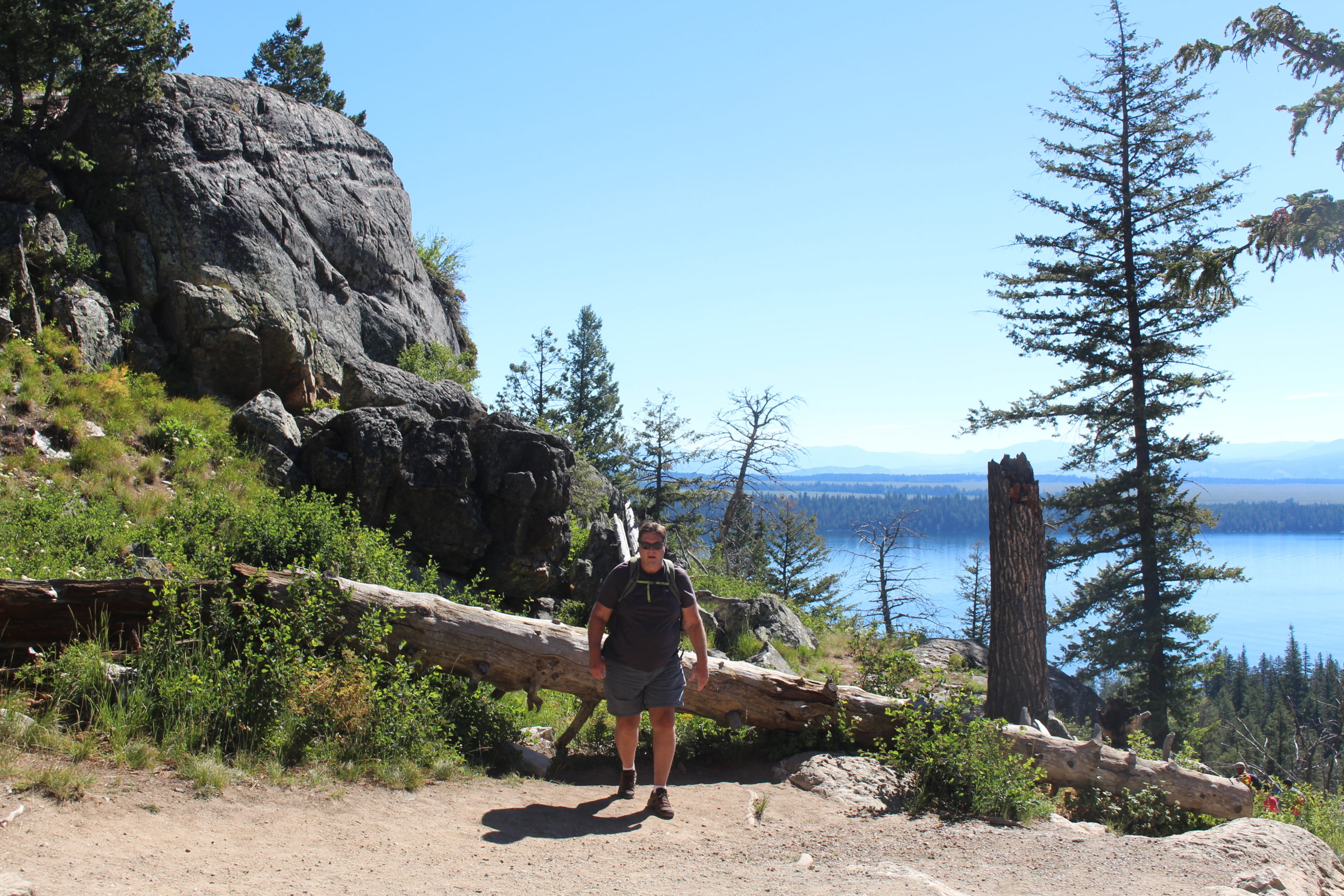
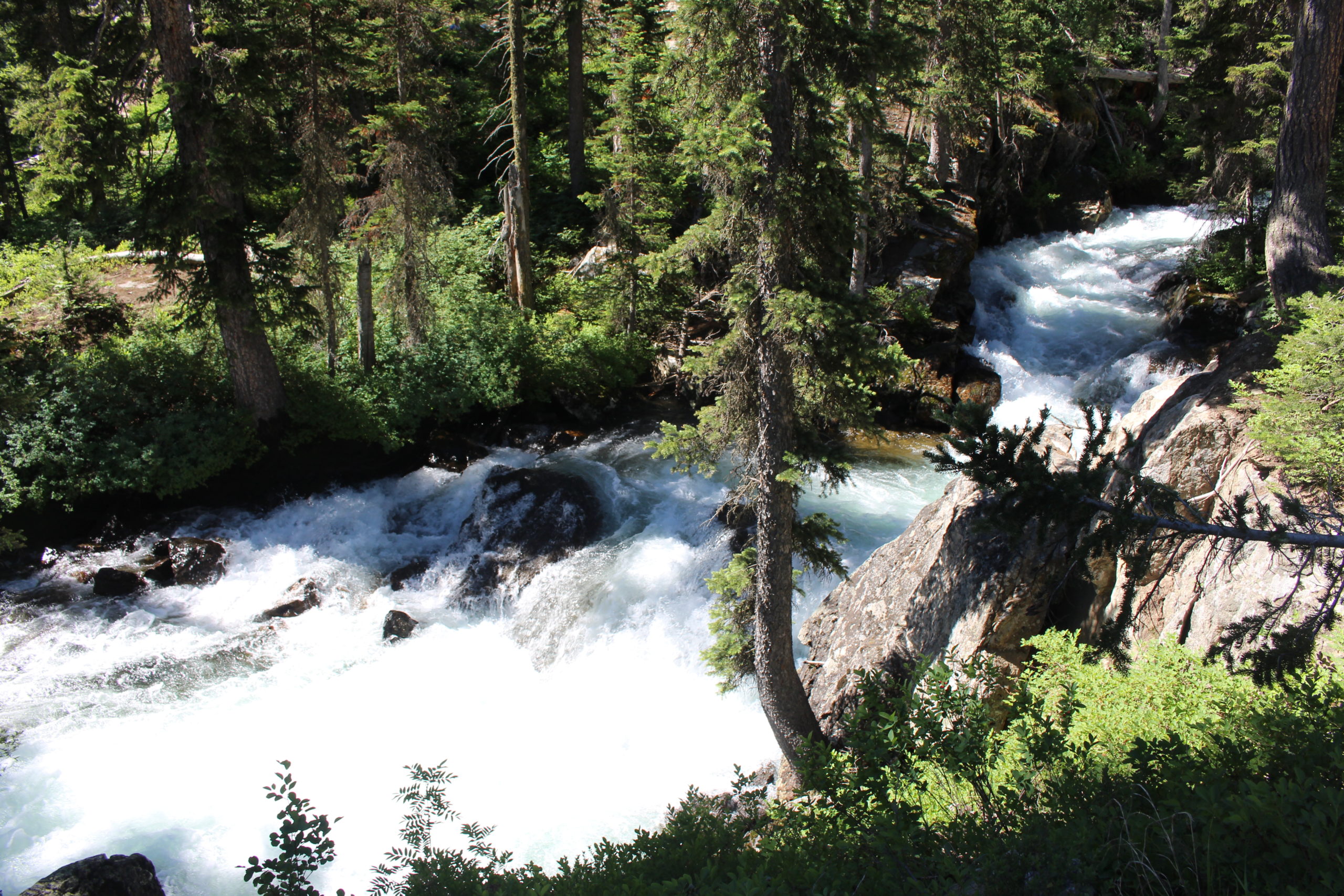
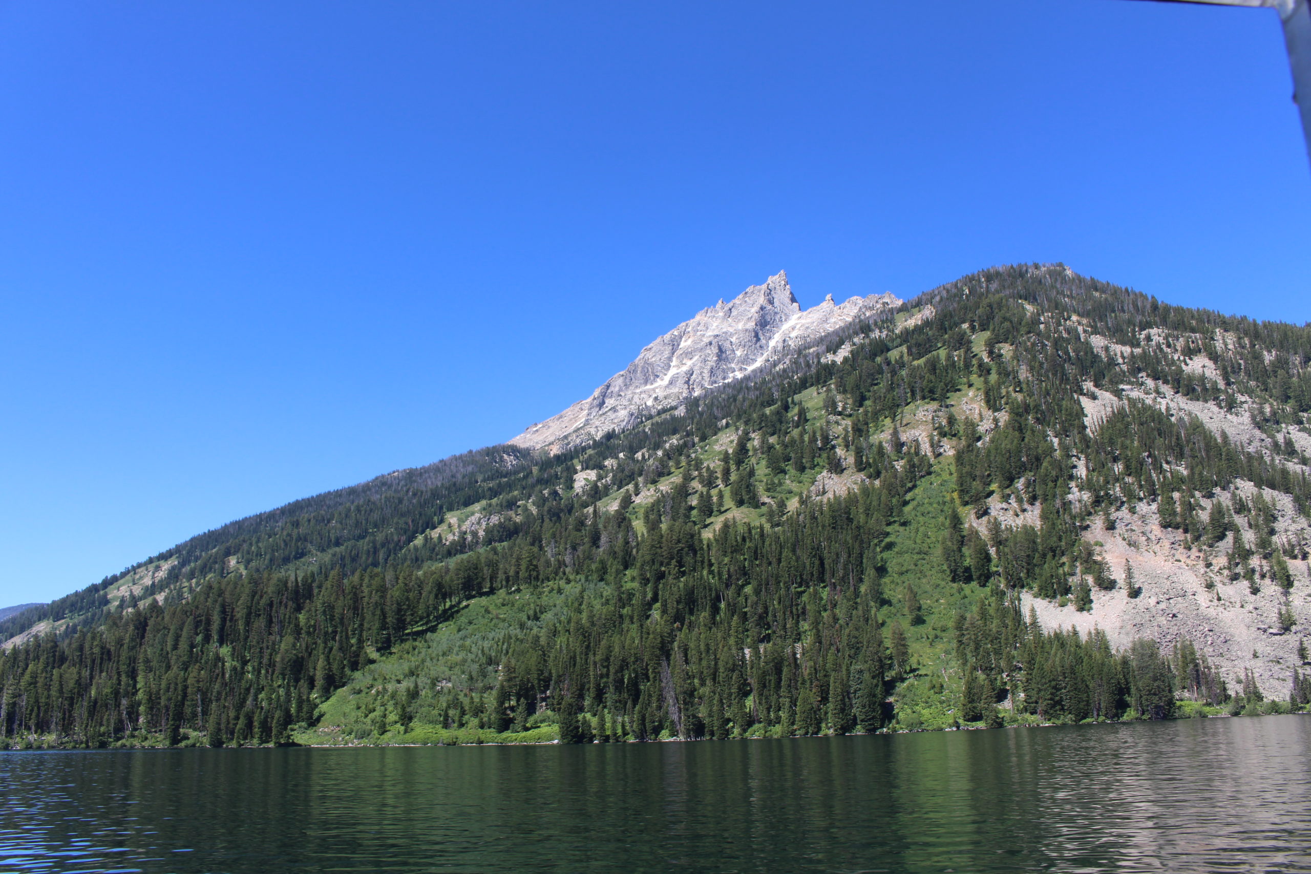
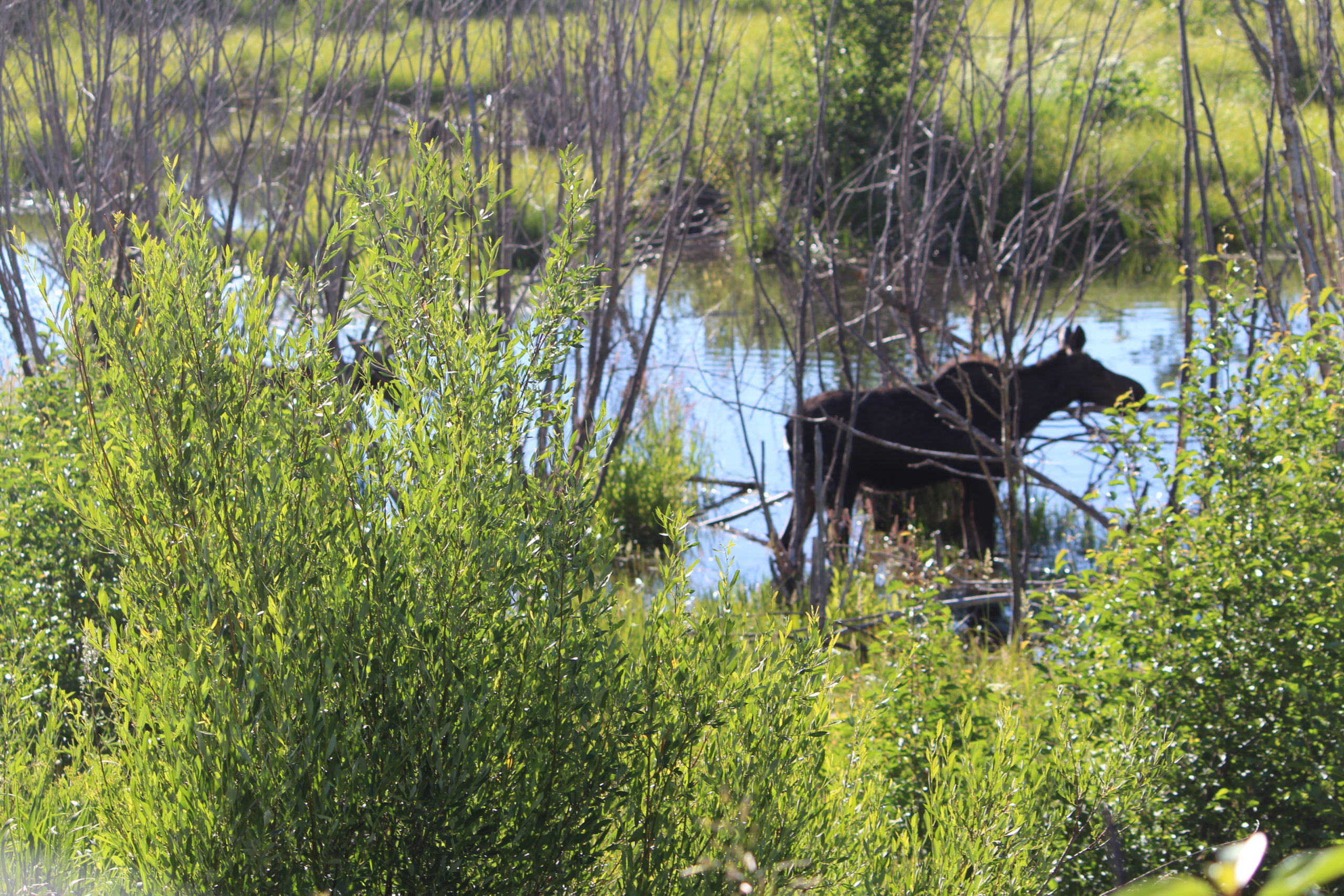
When we passed the Jenny Lake area on Monday the parking lot was full and cars were parked along Teton Park Road for over half a mile in each direction (very crowded). We decided to get up earlier on Tuesday in hopes of seeing more wildlife along the way and getting a parking spot in the parking lot at Jenny Lake. We did see two moose in about the same spot along Moose Wilson Road (might have been the same two as yesterday), but didn’t get to see any Elk in the spot we were told they’d be early in the morning (apparently the Elk get up earlier than 8AM). We arrived at Jenny Lake in time to get a parking spot (there were probably 20 left). We waited in line about 15 minutes to get on the boat that takes you across Jenny Lake (we chose not to take the 2.5 mile hike around the south end of the lake). We then hiked up the trail to Hidden Falls (1/2 mile with a couple hundred foot gain in elevation). The scenery was beautiful, so we attempted to continue on to Inspiration Point. We reached a point where we felt the view was “inspiring”, but there was no sign saying “Inspiration Point”. We decided to continue on a bit from there, but at one of our stops to suck in oxygen, we could see people at much higher elevations. My foot felt fine going uphill, but we had one down hill section that made me realize the trip back down to the boat dock was not going to be easy so we elected to turn around. We were quite happy with what we had seen. When we returned to the parking lot, it was overflowing and people were stalking us in their vehicles. We told one family to pull over at the next black Tahoe with Florida plates and we’d be there soon. They were very happy to get our spot. We drove to the first picnic area on the way home (Cottonwood Creek Picnic Area) and ate the delicious sandwiches Beth had fixed. On the way back down Moose Wilson Road we saw another moose snacking along the creek.
Grand Tetons – Mormon Row
Grand Tetons – Snake River Overlook
Grand Tetons – Oxbow Bend Scenic Overlook
Grand Tetons – Jackson Lake Lodge
Grand Tetons – Jackson Lake Lodge
Grand Tetons – Bear Warning!
Grand Tetons – Lunch – Catholic Bay Picnic Area
Grand Tetons – Mount Moran Turnout
Grand Tetons – Jenny Lake
Grand Tetons – Jenny Lake
Grand Tetons – Jenny Lake – Huff’n & Puff’n
Grand Tetons – Jenny Lake
Grand Tetons – Jenny Lake – from Boat
Grand Tetons – Moose
Grand Tetons – Moose
June 27, 2021 – Fireside RV Resort in Jackson Hole
Today we left Highline Trail RV Park and moved to a campground, Fireside Resort, just outside Grand Teton National Park. This campground is slowly being converted to a “tiny house” resort. Due to that, the portion that still remains campground has not only been neglected, but the water and sewer hookups have been migrated and buried under the center of the campsite (i.e., not available to campers). They’ll dig up the plumbing when they place the “tiny houses” on the sites. Therefore, we have power only (navy shower time). It’s funny because we were chatting with several of our neighbors and the Dad’s were freaking out about being here four or five days and having teenagers and having to worry about their gray tanks overflowing. We suggested that the campground showers were a short walk away and they suggested that we didn’t know what it was like to have teenage daughters (they have a point). At $75/night, no pool, and no full hookups, the campground receives mostly negative reviews, but as the realtors say, “it’s all about location”. A number of the sites are very small/tight, but we were quite fortunate to be placed in one of the biggest sites (both length and width). The only tight spot is at the back of our camper (on the driver’s side) and after our neighbors arrived, we felt like the Tahoe was under their awning, so we unhooked it and squeezed it in front of our camper. They were very appreciative.
The drive was very scenic and uneventful (mostly down hill). We topped off our fuel tank at a Marathon station at the intersection of US-191 and US-89 and headed on to the campground. This should give us plenty of fuel to get into Montana where the prices are significantly lower. We are able to access the DISH Western Arc satellites from our roof mounted satellite antenna from this site. After setting up the site we finished watching the last few innings of the Rays unfortunate loss to the Angels and then moved outside for “kitty time”. The campground has decent Wi-Fi. When we arrived we were getting 25Mbps/7Mbps upload/download speeds. By 8:30PM, the speeds had dropped to 5Mbps/1Mbps, which is still acceptable for our needs.
Today we left the KOA in Craig, CO and started our migration toward the Grand Tetons. We couldn’t get reservations anywhere in the Grand Tetons over the weekend, not to mention that we didn’t want to be in the Grand Tetons on a weekend anyway, so we stopped for the weekend in Boulder, WY (Population 75, Elevation 7,016′) at the Highline Trail RV Park. We only had two choices for routes to get here (there are not a lot of roads in this part of the world) and the route with the least high grade climbs (CO-13) had construction that placed us on a one lane dirt road for 5 miles behind a pilot vehicle. We didn’t think we wanted to deal with that in the RV while towing the Tahoe, but the only other choice was to head into Utah on US-40 and then head north on US-191 (the road Highline Trail RV Park is on). The problem with the second option is that the climb north from US-40 on US-191 immediately goes into a serious climb with many switchbacks and 8 and 10% grades. After our experience getting to Craig, CO (with the RV temporarily overheating on an 8% grade) we elected that we would deal with the construction on CO-13. We definitely made the right choice. We only had to wait about 15 minutes for the pilot car to lead our small group of vehicles down the unpaved detour. The dirt was heavily packed and there was no dust due to the rain the day before. Other than that the 5 mile section of construction the road was great and only had one decent climb at a 5% grade. It dumped us off on I-80 and we headed west to the first exit where we bought fuel at a Loves Travel Stop for what I hope is our maximum fuel price ($3.47/gal after our fuel card discount) this year (I’m not holding my breath). We stopped for lunch at a Rest Area on I-80 and then continued west to US-191 at Rock Springs, WY. US-191 is extremely desolate. We really only passed through one town of any consequence (Eden, WY – 2010 census population 281) during the 90 mile drive from Rock Springs to the campground in Boulder. We encountered one decent grade (5 to 6%) which only raised our engine temperature a bit.
This campground is awesome and is located on the west side of the Wind River Mountain Range at 7,016′. Full hookups for $36/night and some of the largest sites (both length and width) we have ever seen. The few trees aren’t very tall, so the roof DISH network antenna worked fine. The new AT&T Wi-Fi is working so well (35Mbps download/10 Mbps upload) that I haven’t even tested the campground Wi-Fi. We would have liked to have spent more time outside this evening, but it has been a very rainy day (only the third time we have encountered rain on this trip). No complaints here as the rain is desperately needed and tomorrow’s forecast looks very good. We did try to take the cats out for a short bit, but the garbage crew came through and the cats were all scared of the beautiful horse pulling the garbage wagon.
On Saturday we had a delicious breakfast at the Boulder Store (right next to the campground) and then drove about 12 miles to Pinedale, WY for groceries and some dry lubricant from the attached (to the grocery) ACE Hardware store. It’s the first ACE Hardware I’ve ever visited that not only sells rifles and shotguns, but reloading supplies including dies, powder, and bullets (welcome to America!). After lunch we visited a local distillery. How could one not visit Cowboy Country Distillery? We were very fortunate to be hosted by the actual owner/distiller who has been distilling liquor for over 49 years and worked for Seagram’s many of those years. The beverages were delicious and we probably spent too much money on take home “samples”.
Highline Trail RV Park – Site #18
Highline Trail RV Park – Wind River Range in Background
Highline Trail RV Park – Totally Green Trash Service
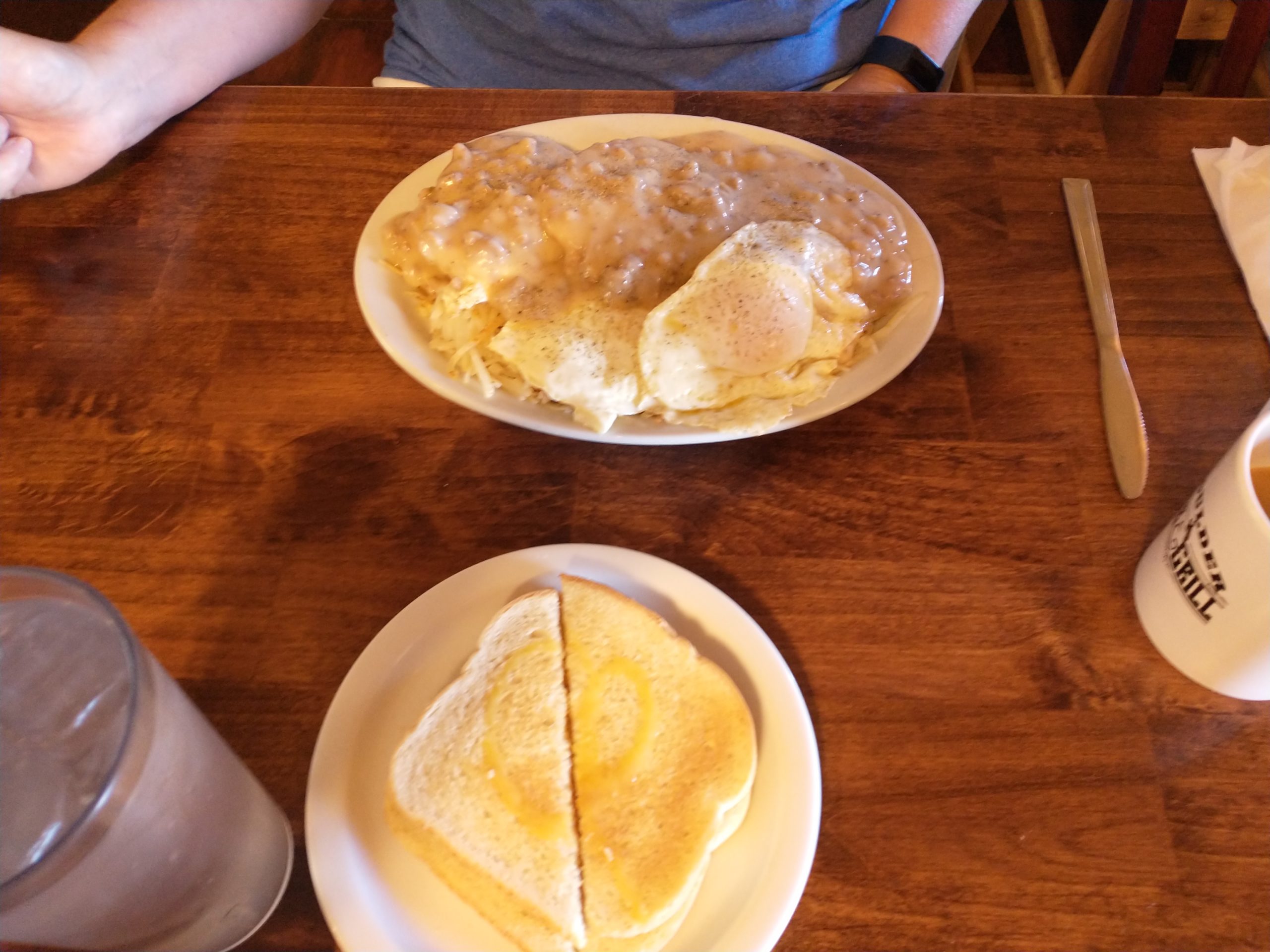
Boulder Store – Biscuits & Gravy
Boulder Store – Big Breakfast
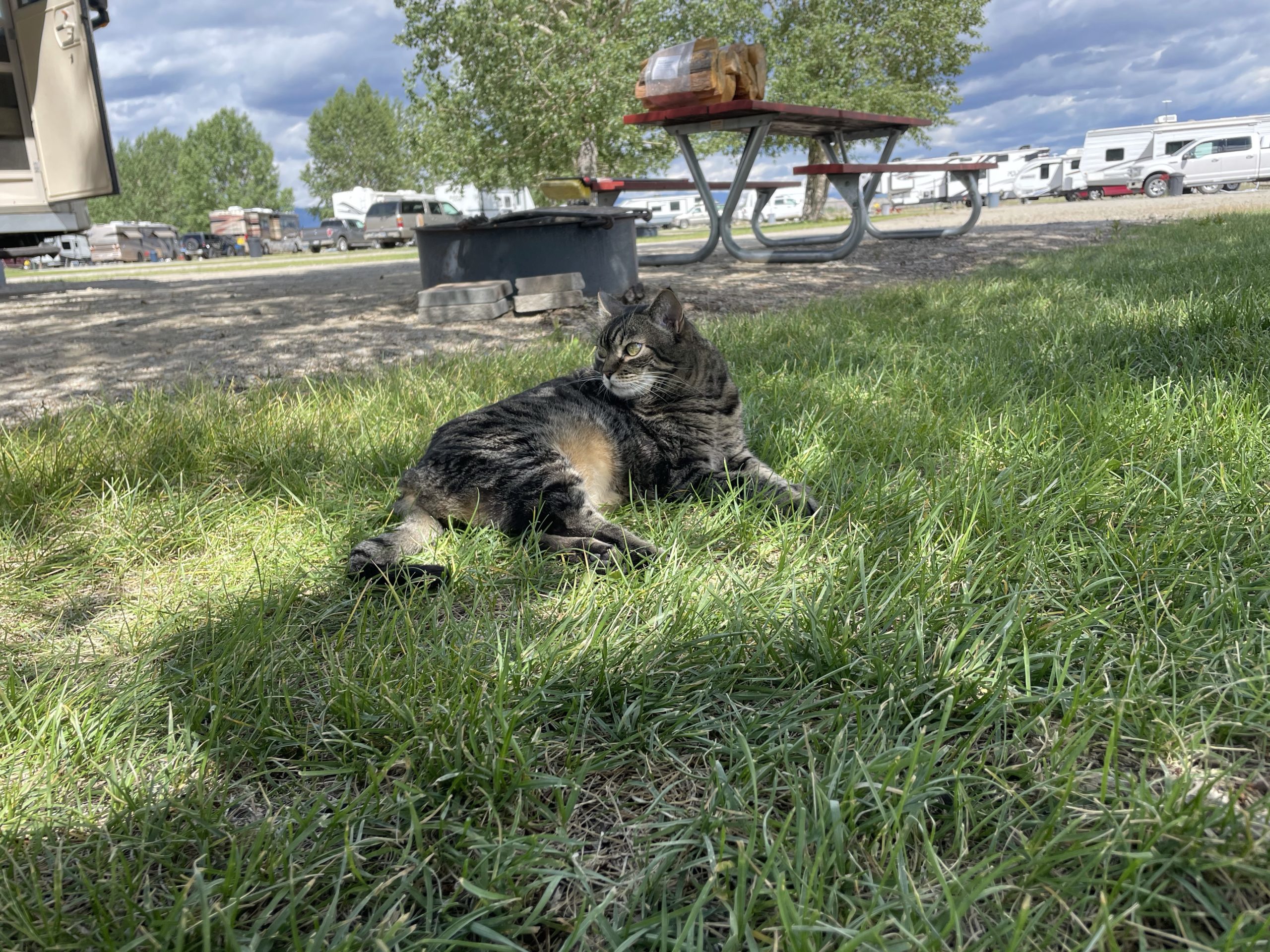
Highline Trail RV Park – Phoebe Chill’n
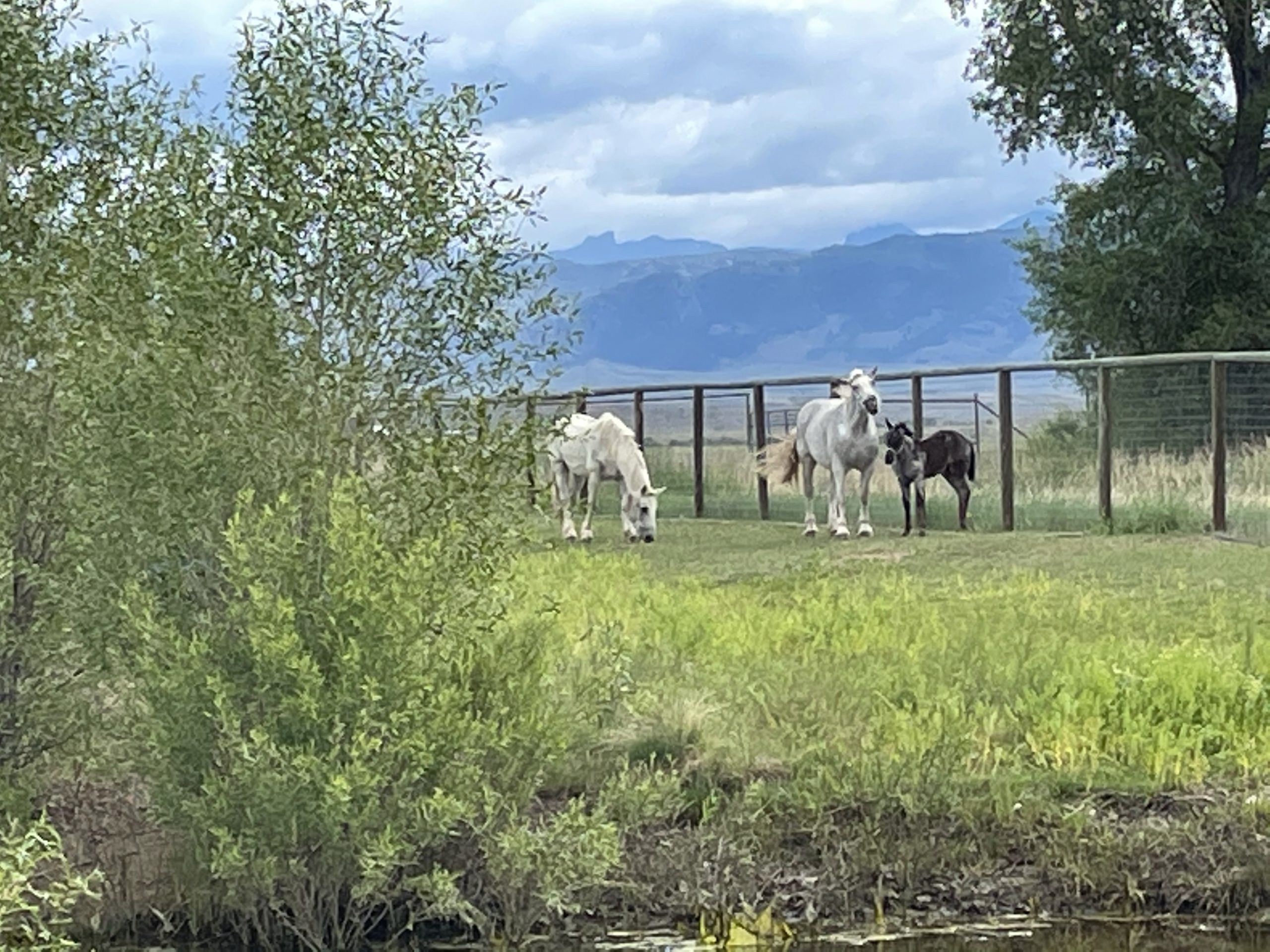
Beth Receiving Some Feedback from Yet Another Horse
Today we left Chatfield State Park at 9:30 AM MDT on our way to Custer State Park in the Black Hills of South Dakota. We stopped at the Sam’s Club in Cheyenne, WY for fuel ($1.99/gal) and picked up groceries at Walmart. Then we headed up US-85 to BJ’s Campground in Lusk, WY. The scenery was beautiful along the way and we encountered lots of motorcyclists in both directions headed to and from Sturgis, SD for Bike Week. Later in the day we encountered extremely heavy crosswinds that forced us to pull off the road twice and re-secure our kayak mounted on the roof of the Tahoe.
The campground is small and obviously intended for overnight travelers passing through on their way to the Black Hills, but it is very nice and Linda the owner was wonderful and extremely helpful. There are no trees, so satellite TV access is not a problem using the roof antenna and there was very good Verizon LTE reception. The campground Wi-Fi was somewhat slow but usable (it took several tries to upload some of the photos).
Today we left Cody, WY and drove to St. Vrain State Park just East of Longmont, CO. We headed South out of Cody on WY-120 and then hopped on good old US-20 in Thermopolis, WY (famous for its hot springs). Just South of Thermopolis US-20 follows the Wind River through the Wind River Canyon. This was an incredibly scenic drive. Probably one of the best on the trip outside of a major attraction. US-20 through my hometown of LaGrange, IN is obviously very scenic with my childhood home on display, but I’d have to admit that Wind River Canyon tops it.
US-20 – Wind River Canyon
US-20 – Wind River Canyon
US-20 – Wind River Canyon
The St. Vrain State Park is another nice state park in Colorado with full hookups. The roads are dirt, but our site had a HUGE cement slab (perhaps because it’s handicap accessible). The picnic table was backed by a wind shelter. All the sites were pull through and very long. There were no trees to block satellite access and the Verizon LTE was very fast. The only negative was our proximity to I-25, but the road noise didn’t bother us.
On Monday (9/16/19) we continued on from Three Forks, MT to Cody, WY by taking I-90 East to US-310 South at Laurel, MT. We pulled off the road at a Historic landmark just South of Bridger, MT. The historic landmark (sign) documented that the Bridger Trail (a.k.a. Bridger Cutoff) passed nearby. We must have been in potato farming country because we watched a number of truckloads of potatoes pass by while we ate our lunch.
Just past our lunch stop we jumped on MT-72 which became WY-120 when we crossed into Wyoming. This was a very scenic two lane highway, but definitely beyond civilization. We only encountered a few other vehicles on this 60 mile leg.
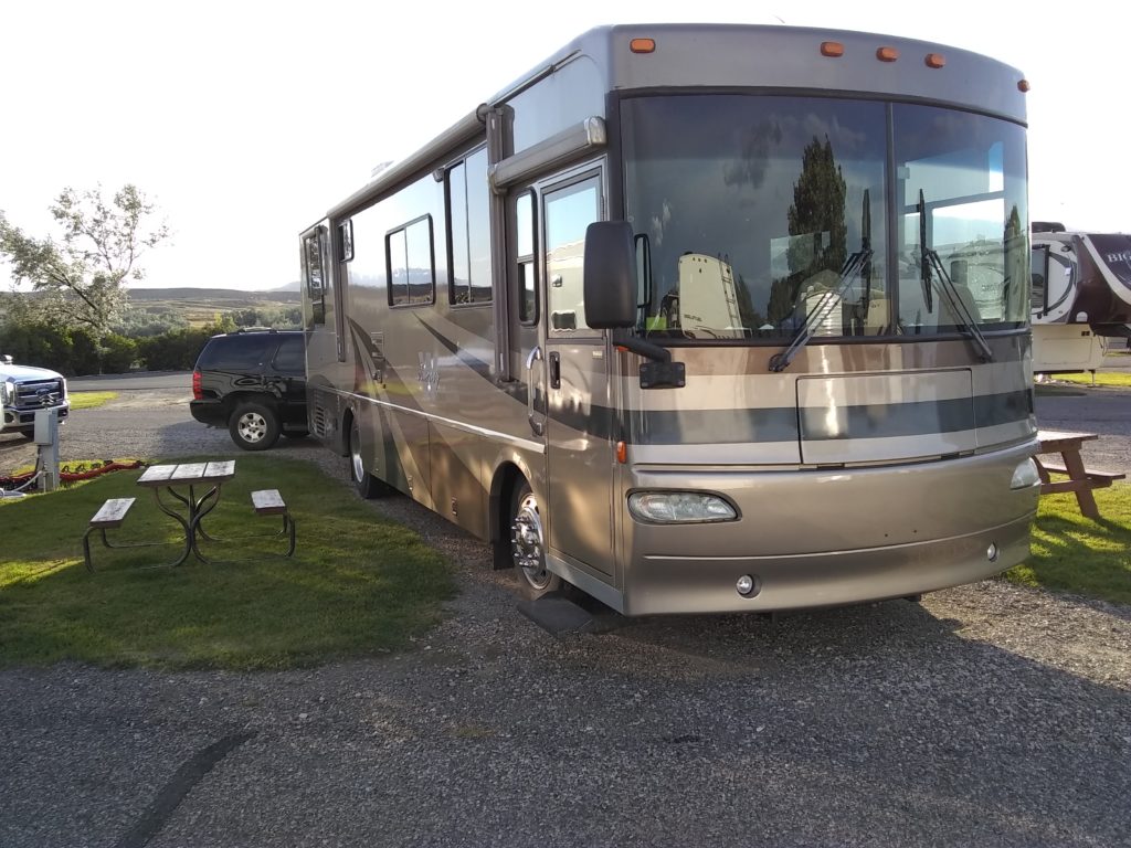
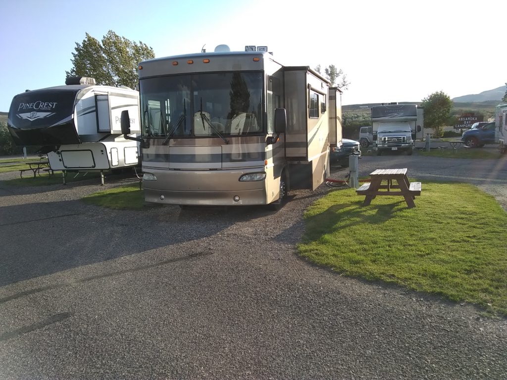
We spent three nights at Absaroka Bay Campground in Cody. The sites were gravel with irrigated strips of grass between sites. They were a little close, but no more so than the previous campground, the difference being no trees or bushes (which I’m not sure grow in Wyoming). The bathrooms were nice and so was the laundry facility. In fact, the laundry was only $1.25 a load, so Beth made sure to catch up on laundry while we were there. The best part was that this was one of the few campgrounds we’ve encountered with usable WiFi.
Site C5
Site C5
Tuesday was a cool (high in the low 50’s) windy day. We went into town in the afternoon and shopped for trinkets for the grandchildren and then ate a late lunch at the Cody Steakhouse. The meal was excellent and very reasonably priced. We got caught in the rain leaving the restaurant so the cold, windy, rainy high speed walk many blocks back to the Tahoe were enough to convince us to go back and snuggle up in the camper.
On Wednesday we visited the Buffalo Bill Center of the West museum. It is comprised of a number of museums. The Buffalo Bill Museum, Plains Indian Museum, Natural History Museum, Western Art Museum, and most importantly the Cody Firearms Museum (I think they had every gun ever made). The museum also had a Raptor rescue facility where they provide housing and medical care for birds of pray that have been permanently injured to the extent that they could no longer survive in the wild. They held a Raptor Experience education session that we attended in the early afternoon. We got to meet and learn about Isham the red-tailed hawk and Monte the eastern screech-owl.
I started noticing advertising along the interstates for Taco John’s when we first hit I-35 in Iowa and have been seeing it regularly throughout the West. By the time we reached Montana, I told Beth I was trying out a Taco John’s before this trip was over. So we started watching for Taco John’s at our fuel stops, but the logistics never worked (usually the parking lots were too small to pull our rig into and get back out). Well guess what, there was a Taco John’s practically across the road from this campground and since Taco John’s originated in Wyoming (Cheyenne) this was obviously an omen. So we took our maiden voyage after visiting the museum. It’s very similar to Taco Bell but we both agreed that the standard taco at Taco John’s was much better. We also tried chicken quesadillas and that might be a tie. Taco John’s quesadilla has a LOT of quality cheese, but tastes fairly plain compared to whatever sauce Taco Bell uses in their quesadilla. The other thing we liked was that the condiments came in large quantities. Both the sour cream and nacho cheese came in containers two to three times the size Taco Bell provides. In fact, I ran out of their little potatoes before I ran out of nacho cheese (don’t worry, I found a way to consume the remainder of the cheese). Overall we were happy with our Taco John’s experience.
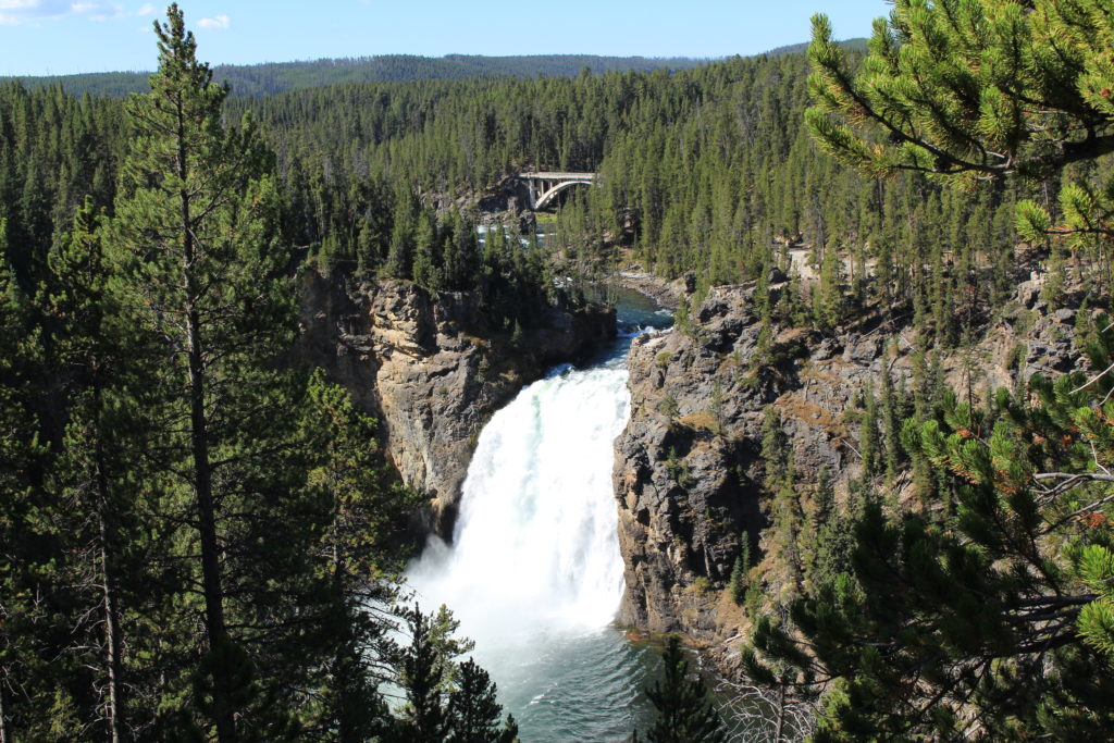
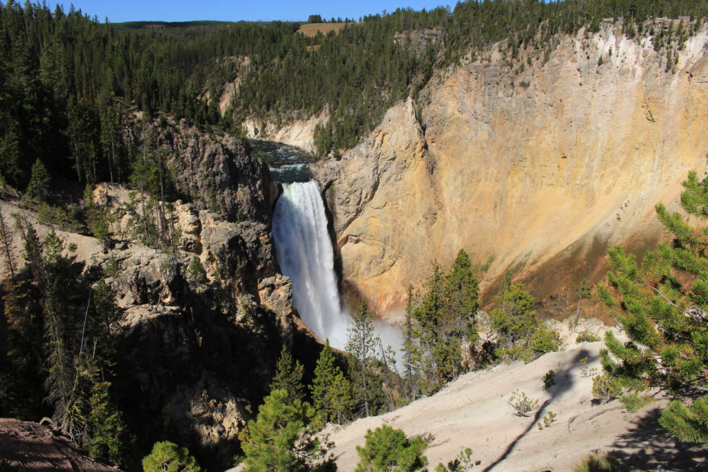
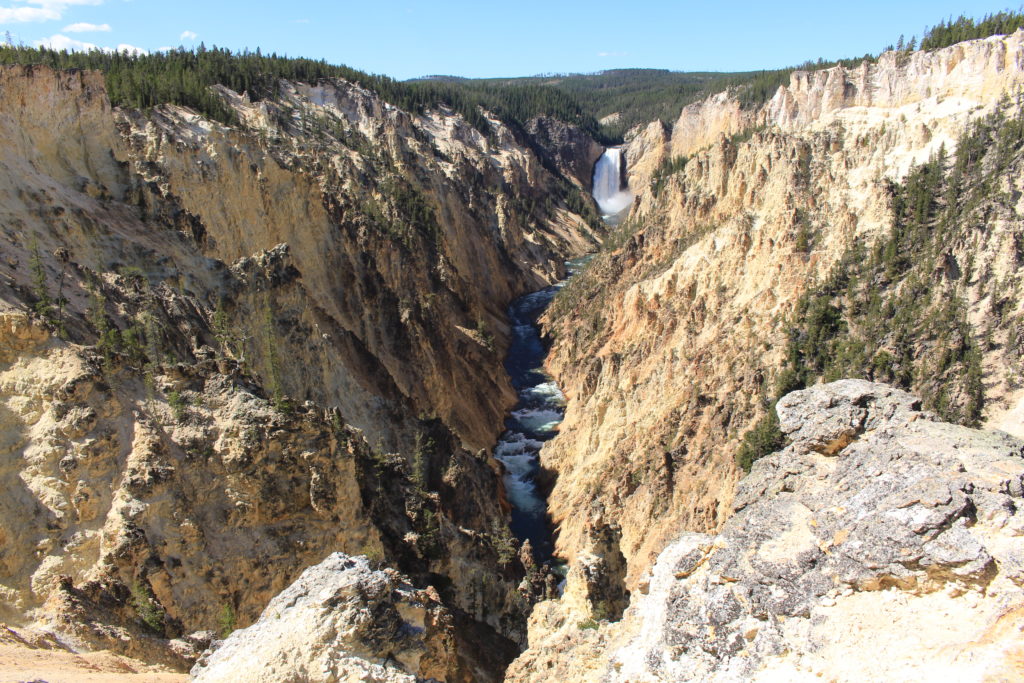
We visited the Grand Canyon of the Yellowstone today. We started on North Rim Drive stopping off at the Lookout Point and Inspiration Point scenic overlooks. Then we moved over to the South Rim Drive and stopped at Uncle Tom’s Point with the intent of hiking down Uncle Tom’s Trail to the bottom of the Lower Falls (which are the bigger falls). Unfortunately, Uncle Tom’s Trail was closed which was quite disappointing as we had been psyching ourselves up all week for the 328 step climb back up to the trailhead. Instead we chose to hike the South Rim Trail to Artist Point. This hike was 3 miles round trip at roughly 7,800 feet in elevation. We had to stop and suck oxygen after several steep climbs. The trail was great with a lot of incredible views of the falls and canyon. Unfortunately, Artist Point is reachable by car (or bus) so there was a decent sized crowd to contend with when we reached that end of the trail. Fortunately, after a week in Yellowstone, we’ve learned to preemptively out-rude the foreigners in order to get decent photo opportunities.
Upper Falls from North Rim
View of Canyon from North Rim
Lower Falls from South Rim Trail
Upper Falls and Yellowstone River from Artist Point
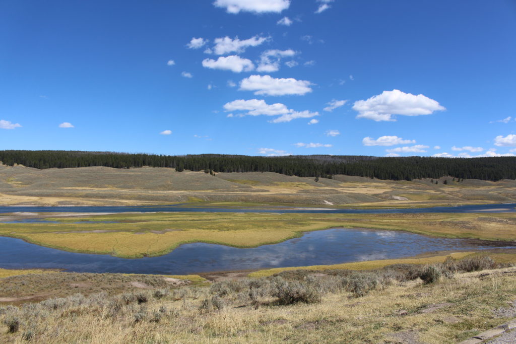
We ate lunch at a scenic overlook in the Hayden Valley. This is a beautiful valley along the Yellowstone River (between Yellowstone Lake and the Grand Canyon of the Yellowstone).
Today was “sleep-in” day. I was the clear winner making it to 9:30 AM. I probably could have gone longer, but I think there were some shenanigans on the part of some of the more restless members of the household (camperhold?).
Once we got around, we headed off for the obligatory visit to the Old Faithful geyser. When we arrived, the next eruption was less than 30 minutes away and by the time we walked over to the viewing area we didn’t have to wait too long for the eruption. It was impressive and scary to think about what’s going on below the ground to generate that kind of force.
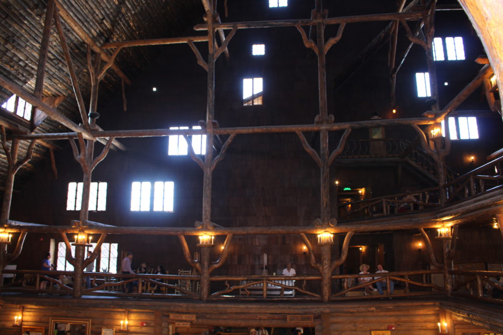
After the eruption we wondered over to check out the Old Faithful Inn. It too is very impressive. We immediately went to the second floor and grabbed a nice loveseat (made out of tree limbs) overlooking the lobby. I went and grabbed a couple of cocktails to enjoy while we “people watched”.
Old Faithful
Old Faithful Inn
Chimney & Clock at Old Faithful Inn
Old Faithful
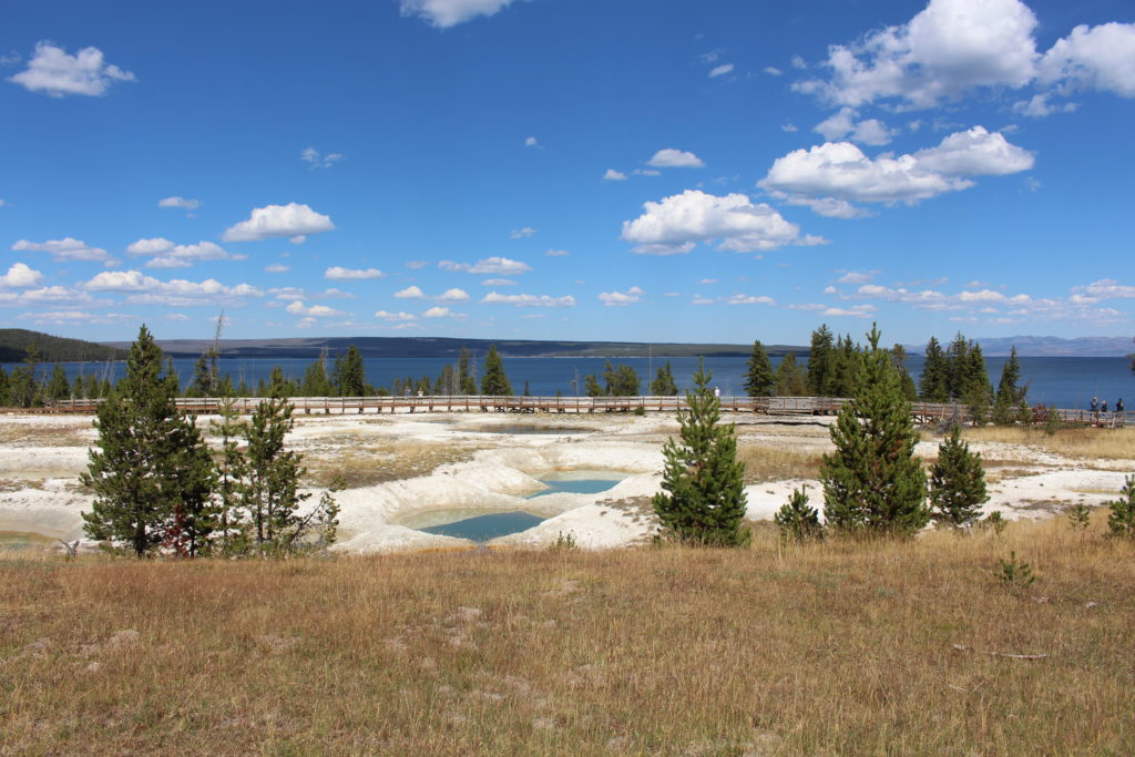
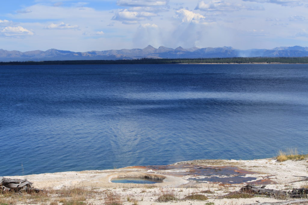
We left the Old Faithful area and headed South to the West Thumb Geyser Basin. We also drove past the basin a bit to get some pictures along the West Thumb portion of Yellowstone Lake.
West Thumb Geyser Basin
West Thumb Area of Yellowstone Lake
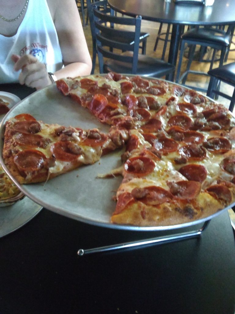
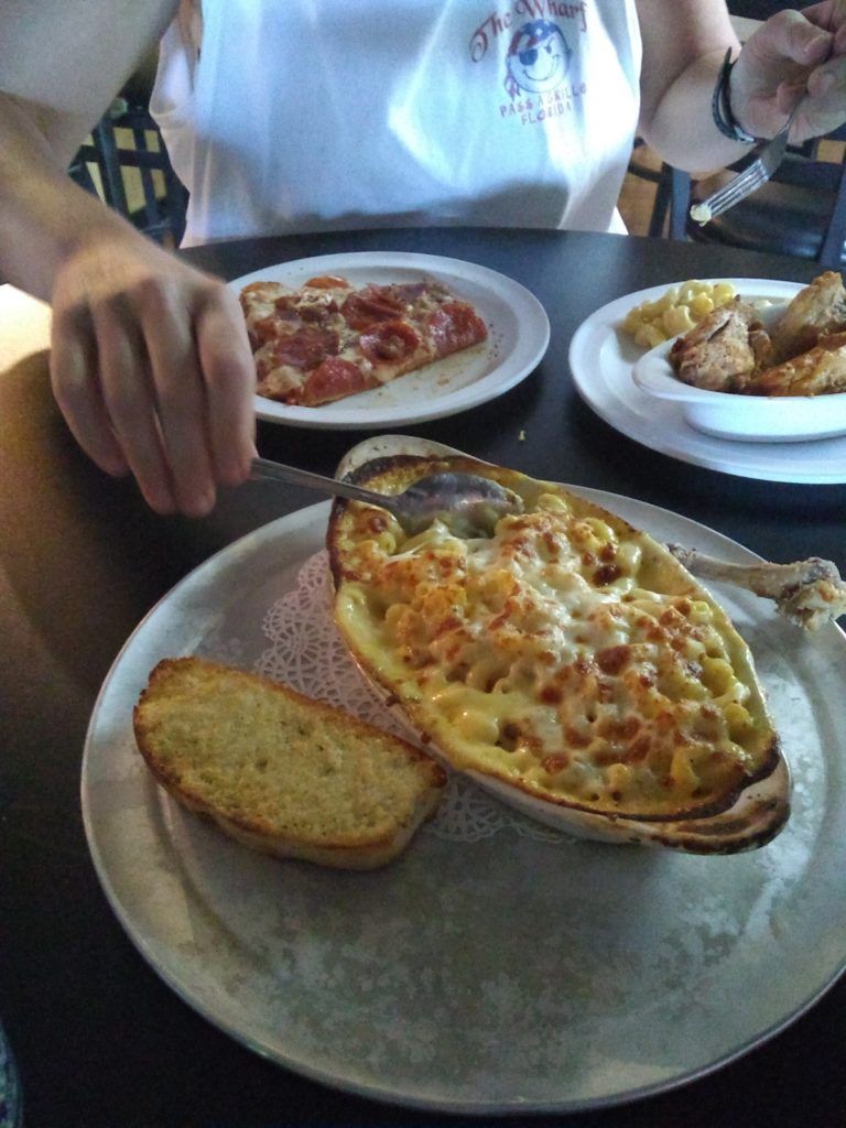
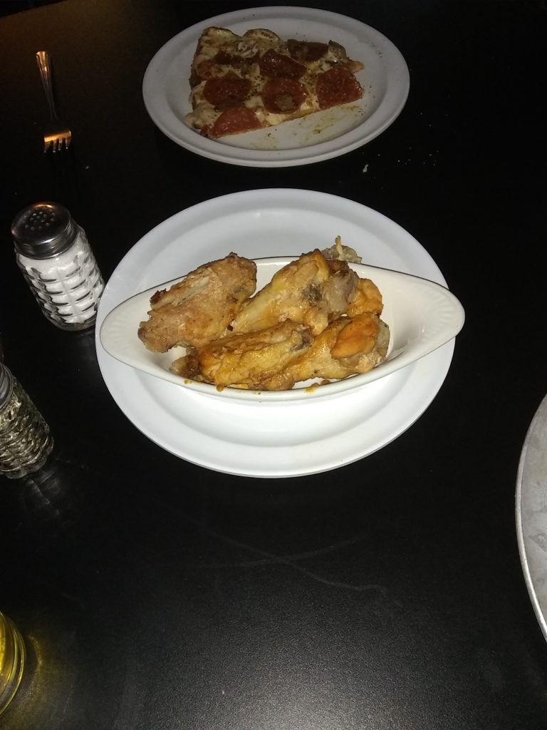
We skipped lunch since we had such a late breakfast, so when we returned to West Yellowstone we decided to try out the Wild West Pizzeria & Saloon. Beth had done her usual quality research and as usual she was spot on. Either we were really hungry or the food was great. I ordered a sausage and pepperoni pizza and Beth ordered wings and their “world famous” macaroni and cheese. The pizza was one of the best I’ve had in a long time, the beer was ice cold, the macaroni and cheese was great, and we’ll be chowing on this food for at least a couple more meals.
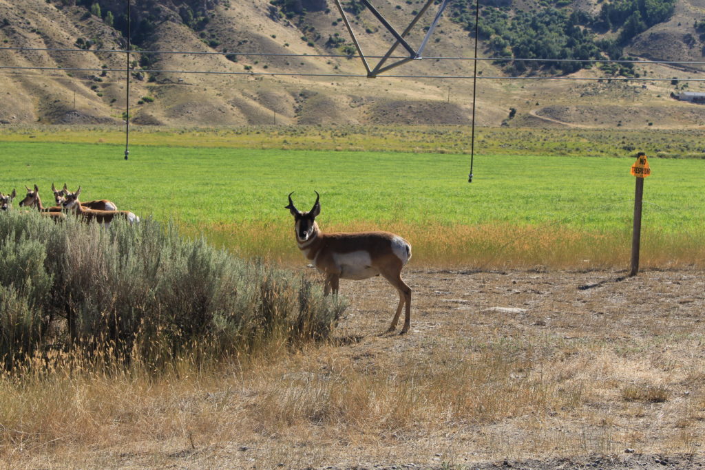
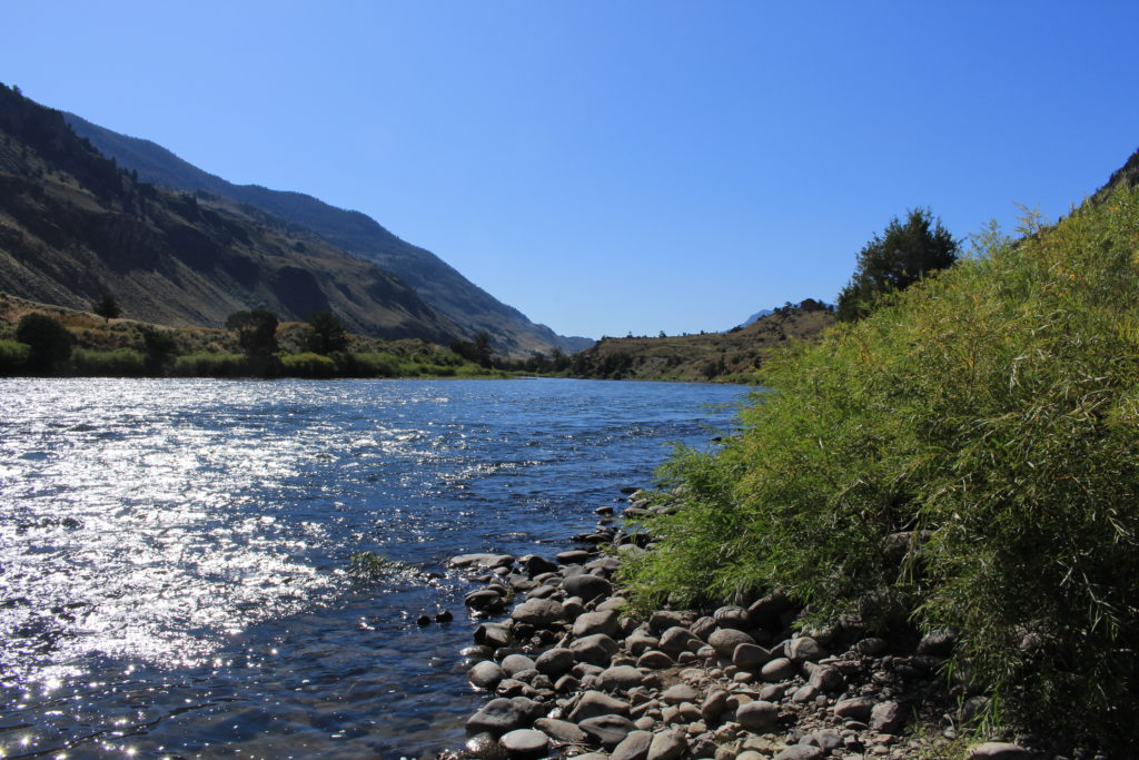
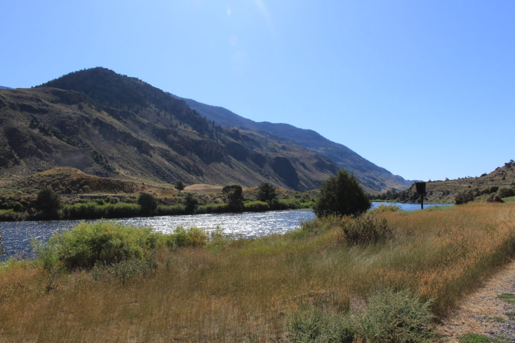
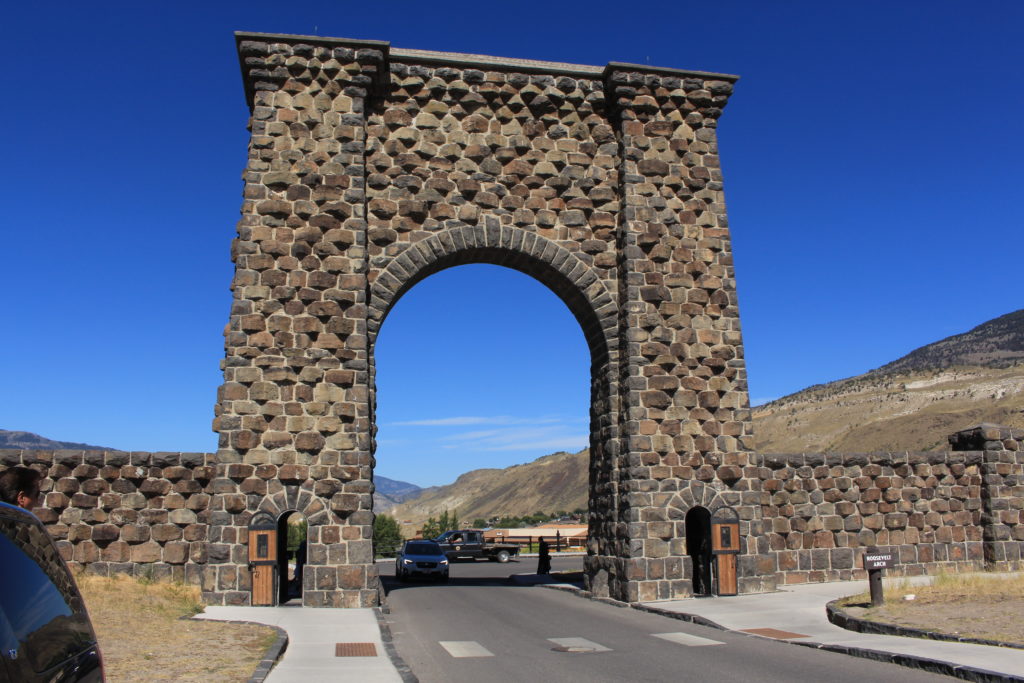
Today we headed up US-89 to the North entrance of the park (the original entrance) in order to avoid the holiday crowds. When we exited the park in Gardiner, MT, we continued North about 21 miles on US-89 to where the Old Yellowstone Trail splits off from US-89. The Old Yellowstone Trail was the first transcontinental automobile highway in the United States through the northern tier of states from Washington through Massachusetts and this is one of the few remaining portions of it. The road was gravel and paralleled the West side of the Yellowstone River. It traveled through ranch land (mostly hay fields), but the view of the mountains to the West was great. We encountered three different herds of Pronghorns feasting on irrigated hay. A herd of them had started to cross the road in front of us (with the buck in the lead) and turned back when we approached. We stopped for pictures and the buck (who didn’t seem to be afraid of cars or humans) stared us down.
When we reentered the park we stopped and ate lunch in a picnic area just across the road from the Boiling River swimming area. This is one of the few approved swimming areas where boiling springs enter the Gardiner River. Unfortunately, neither one of us had packed our swimming trousers for the day’s drive, so we were stuck to enjoying the view from our side of the road.
View from Our Picnic Table
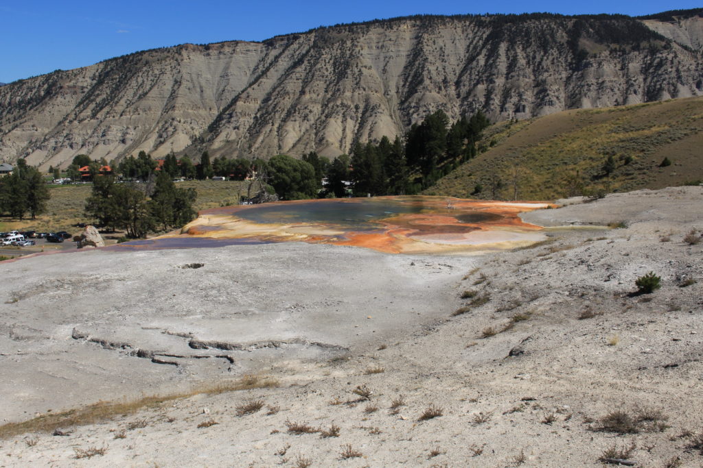
After lunch we stopped and visited Mammoth Hot Springs. We walked the boardwalk up and around the different hot springs although we didn’t go all the way to the top (one level below instead). This ended up being about 1.2 miles round trip from the particular parking lot in which we managed to find a parking spot.
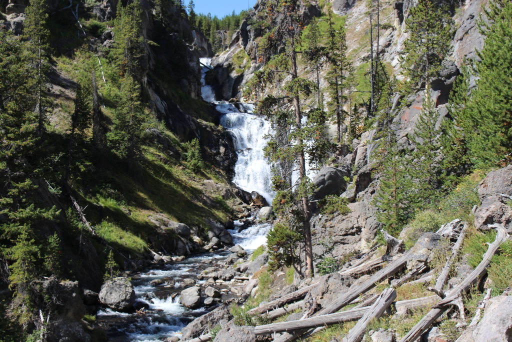
Today we decided to venture out in the direction of Old Faithful to hike to Mystic Falls. We knew there would be a lot of people in that area on a holiday weekend, but we also knew that once we hiked more than half a mile from any parking lot the crowds would dwindle. The only concern was finding a place to park. We reached the Fairy Falls Parking Lot and it was filling up rapidly and I had remembered reading that you could reach the Mystic Falls trailhead from there. My recollection was that it was only a half mile, but I was WAY wrong. It would have been at least eight miles. We stopped and looked at the big map on the Fairy Falls Trail and none of it made sense which should have been our hint to stop and go back, but we marched forward like good soldiers. We tried to check our phones (so we could look cool like all the kids taking selfies everywhere), but there was no data access (we should have downloaded the Google Maps while we had WiFi access). At 1 1/4 miles we finally turned around and went back to the truck.
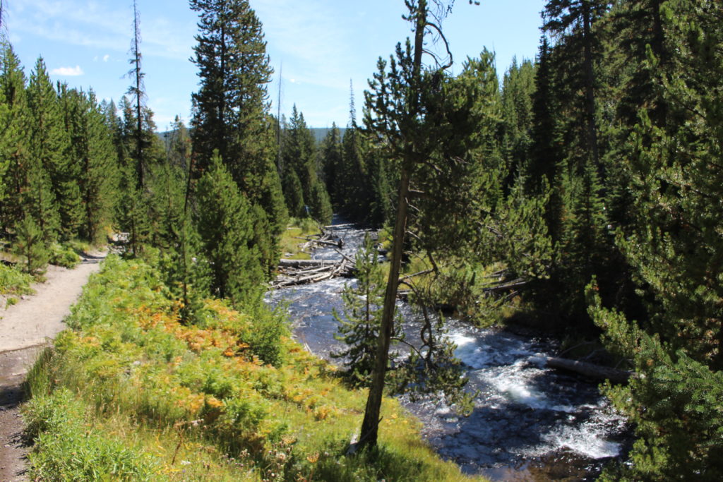
We went to the next parking lot, the Biscuit Basin Parking Lot, which was the correct parking lot. It was much less crowded and within three tenths of a mile we were so alone that I started worrying about all of the “You are in Bear Country” signs and stopped and pulled our bear spray out of our backpacks. This was a beautiful 2.5 mile hike (round trip) through wooded land and there wasn’t too much elevation change (167 feet according to our hiking application).
Mystic Falls
Looking Down River from the Falls
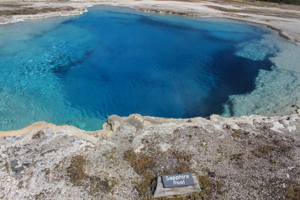
When we returned to the Biscuit Basin parking area we walked the boardwalk loop to look at all of the geysers and hot springs in that area.
Mustard Spring
Sapphire Pool
Sapphire Pool
Since we were so close to the Old Faithful area we decided to drive through and see how busy it was. Our expectations were exceeded. It was total chaos. We turned around immediately and drove back out of the area. By the time we got back to the Midway Geyser Basin Parking Lot, the line of cars coming in from the North was probably a mile long. Just North of that area, we whipped into a picnic area and were able to grab a table and enjoy another lunch that Beth packed.
On our way back to the campground we spotted a group of three female Elk (cows) along the Madison River. Now when I state “we spotted”, what I really mean is that we slammed on our brakes when traffic came to a complete halt.