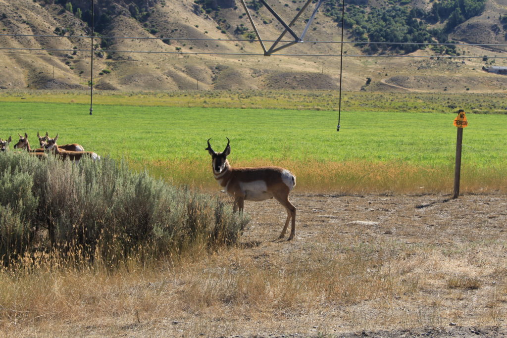
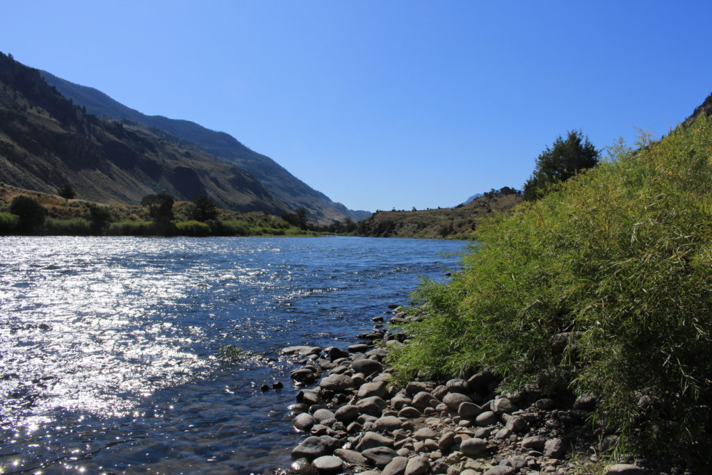
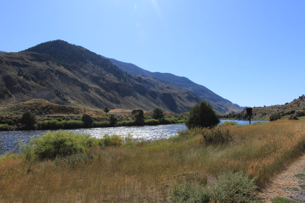
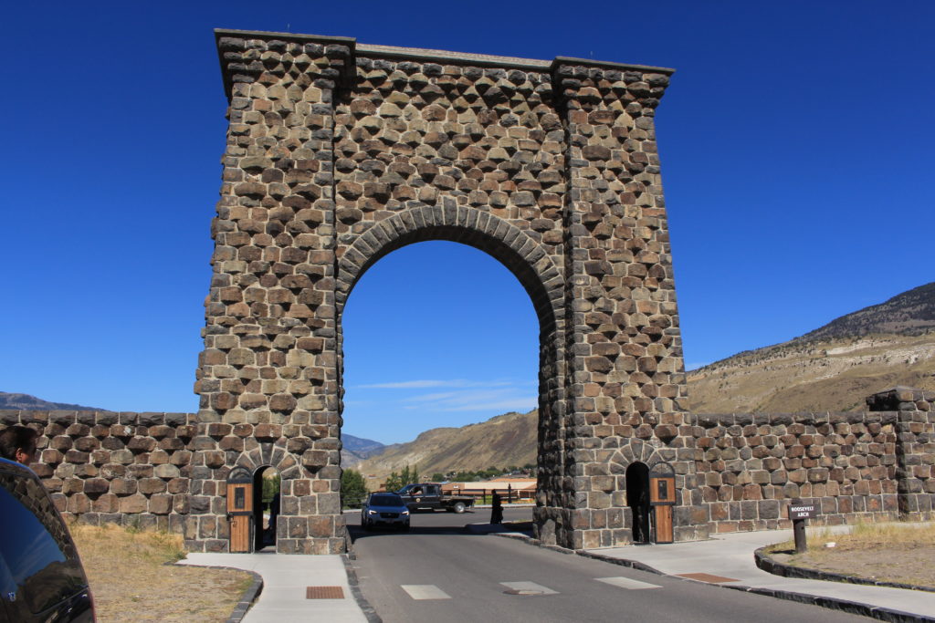
Today we headed up US-89 to the North entrance of the park (the original entrance) in order to avoid the holiday crowds. When we exited the park in Gardiner, MT, we continued North about 21 miles on US-89 to where the Old Yellowstone Trail splits off from US-89. The Old Yellowstone Trail was the first transcontinental automobile highway in the United States through the northern tier of states from Washington through Massachusetts and this is one of the few remaining portions of it. The road was gravel and paralleled the West side of the Yellowstone River. It traveled through ranch land (mostly hay fields), but the view of the mountains to the West was great. We encountered three different herds of Pronghorns feasting on irrigated hay. A herd of them had started to cross the road in front of us (with the buck in the lead) and turned back when we approached. We stopped for pictures and the buck (who didn’t seem to be afraid of cars or humans) stared us down.
When we reentered the park we stopped and ate lunch in a picnic area just across the road from the Boiling River swimming area. This is one of the few approved swimming areas where boiling springs enter the Gardiner River. Unfortunately, neither one of us had packed our swimming trousers for the day’s drive, so we were stuck to enjoying the view from our side of the road.
View from Our Picnic Table
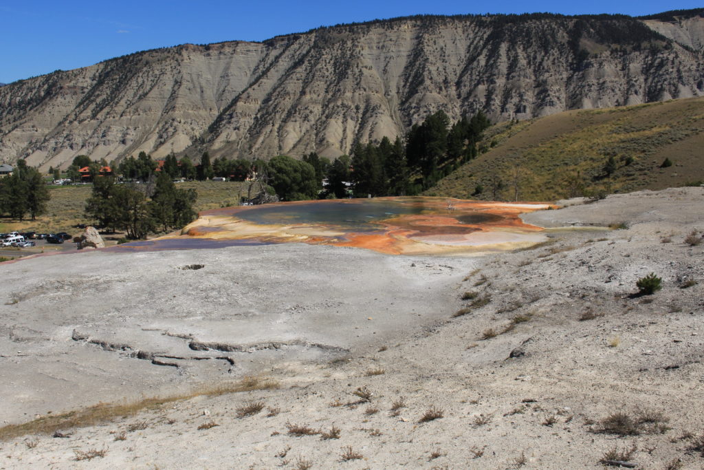
After lunch we stopped and visited Mammoth Hot Springs. We walked the boardwalk up and around the different hot springs although we didn’t go all the way to the top (one level below instead). This ended up being about 1.2 miles round trip from the particular parking lot in which we managed to find a parking spot.
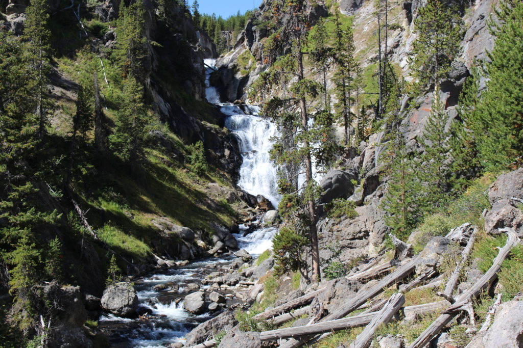
Today we decided to venture out in the direction of Old Faithful to hike to Mystic Falls. We knew there would be a lot of people in that area on a holiday weekend, but we also knew that once we hiked more than half a mile from any parking lot the crowds would dwindle. The only concern was finding a place to park. We reached the Fairy Falls Parking Lot and it was filling up rapidly and I had remembered reading that you could reach the Mystic Falls trailhead from there. My recollection was that it was only a half mile, but I was WAY wrong. It would have been at least eight miles. We stopped and looked at the big map on the Fairy Falls Trail and none of it made sense which should have been our hint to stop and go back, but we marched forward like good soldiers. We tried to check our phones (so we could look cool like all the kids taking selfies everywhere), but there was no data access (we should have downloaded the Google Maps while we had WiFi access). At 1 1/4 miles we finally turned around and went back to the truck.
We went to the next parking lot, the Biscuit Basin Parking Lot, which was the correct parking lot. It was much less crowded and within three tenths of a mile we were so alone that I started worrying about all of the “You are in Bear Country” signs and stopped and pulled our bear spray out of our backpacks. This was a beautiful 2.5 mile hike (round trip) through wooded land and there wasn’t too much elevation change (167 feet according to our hiking application).
Mystic Falls
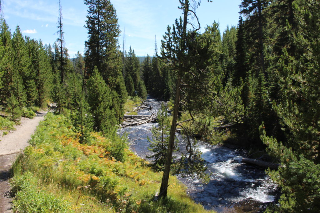
Looking Down River from the Falls
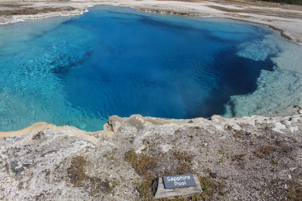
When we returned to the Biscuit Basin parking area we walked the boardwalk loop to look at all of the geysers and hot springs in that area.
Mustard Spring
Sapphire Pool
Sapphire Pool
Since we were so close to the Old Faithful area we decided to drive through and see how busy it was. Our expectations were exceeded. It was total chaos. We turned around immediately and drove back out of the area. By the time we got back to the Midway Geyser Basin Parking Lot, the line of cars coming in from the North was probably a mile long. Just North of that area, we whipped into a picnic area and were able to grab a table and enjoy another lunch that Beth packed.
On our way back to the campground we spotted a group of three female Elk (cows) along the Madison River. Now when I state “we spotted”, what I really mean is that we slammed on our brakes when traffic came to a complete halt.
It was 36 degrees when we got up this morning. We left the campground at about 7:40 AM. We thought about leaving earlier, but this turned out to be a good time because there was a bit of fog and it was starting to clear as we entered the park. In an attempt to avoid the holiday weekend crowds we decided to head for the Lamar Valley which is in the Northeast corner of the park (about 72 miles or a 2 hour drive).
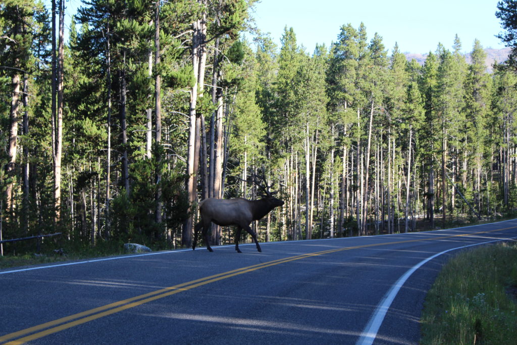
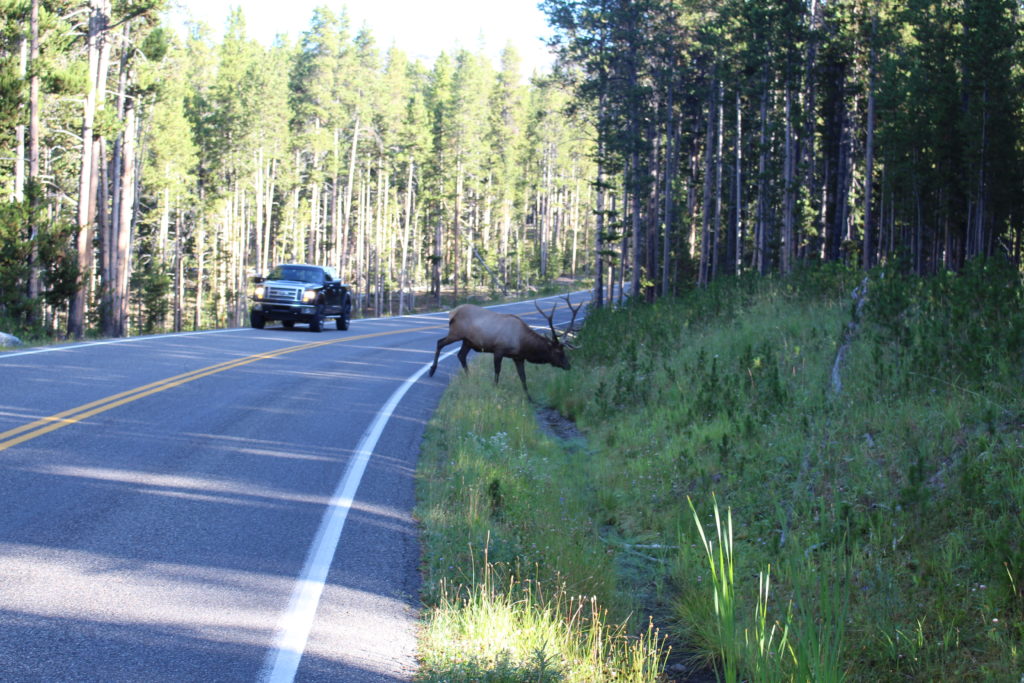
There wasn’t very much traffic at this time of the morning and the traffic that we did encounter all turned in the direction of Old Faithful (which we purposely chose to avoid on the holiday weekend) when we reached the Grand Loop road at Madison Junction. Shortly after we turned onto the Grand Loop road we encountered a huge bull Elk and stopped to watch it cross the road. This made our day a complete success and it had barely started.
Bull Elk
Bull Elk
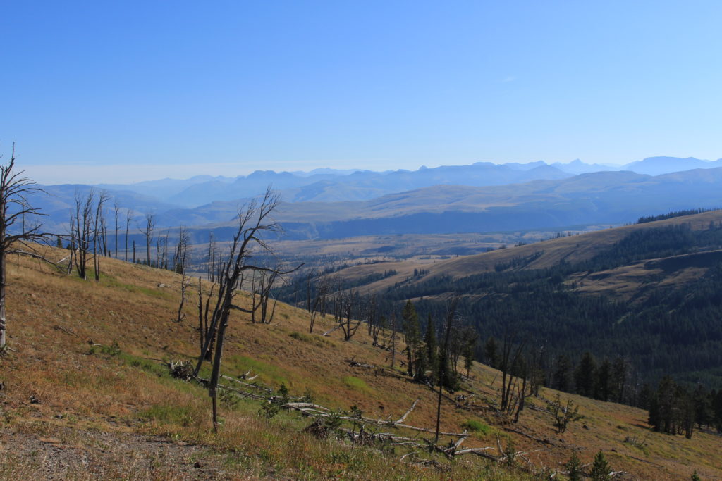
From there we followed the Grand Loop road which climbs to nearly 9,000 feet in a spot near Mount Washburn. We had been considering hiking one of the two trails to the ranger station at the top of Mount Washburn and we passed both trailheads. At the road to the entrance to the second trailhead (Chittenden Road Trailhead) I decided to drive up to the parking lot and investigate. The grade of the trail from the parking lot looked pretty daunting (especially considering it starts at 8,800 feet and climbs 1,400 feet within 2.8 miles) so we were immediately concerned about ever being able to hike it. We decided to conduct a quick test and hike up the trail a bit to see how hard it was. The first several hundred yards were very steep, but the grade got better after that. Even on the easier grade we had to stop every 200 or 300 yards to catch our breath. We hiked up 1/2 mile and then went back. We think we can do it, but it will take some time since we’ll have to stop regularly to breath. We haven’t decided whether or not to give it a try later this week. We’ll see.
View from Chittenden Trail in Route to Mount Washington
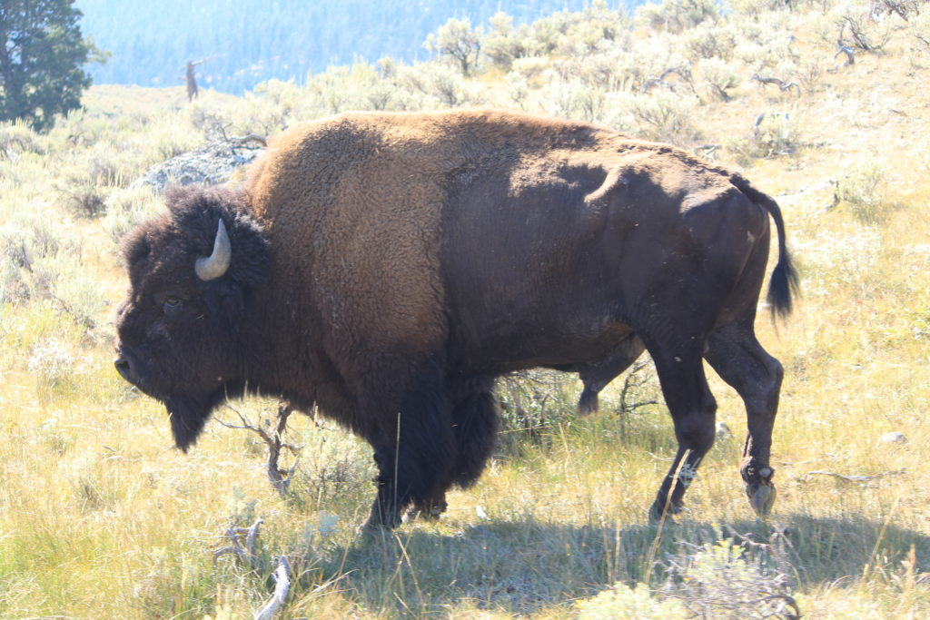
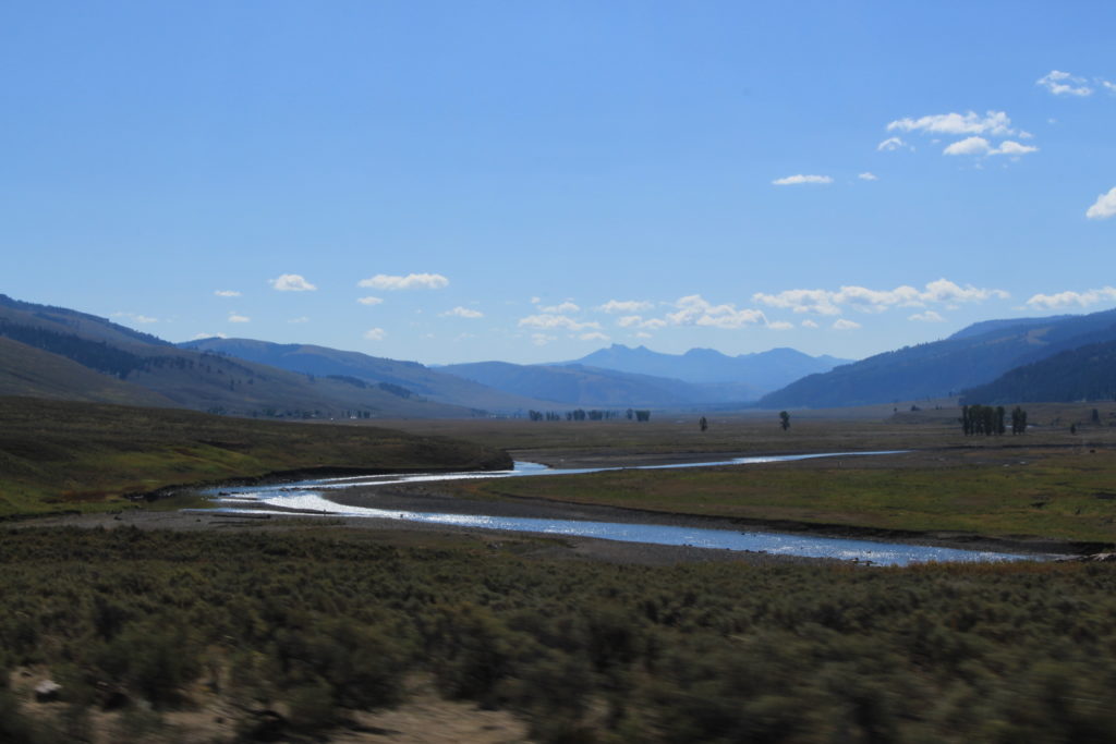
From there we headed on to the Lamar Valley. The Lamar Valley is famous for its beauty and considered one of the best locations for animal encounters. It was definitely one of the most beautiful places we have ever been. Our pictures don’t do it justice. We saw many, many Buffalo, some Pronghorns, and a Fox.
Buffalo in Lamar Valley
Lamar Valley
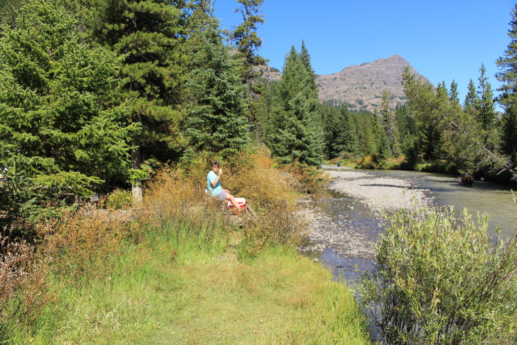
After Lamar Valley we stopped at a picnic area along Soda Butte Creek and ate the lunch Beth packed for us. What a great place to eat lunch.
Lunch at Soda Butte Creek
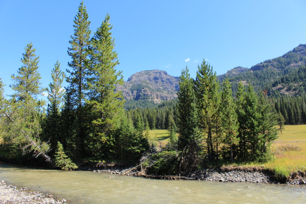
View from Lunch
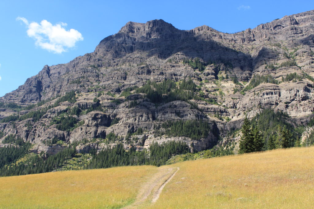
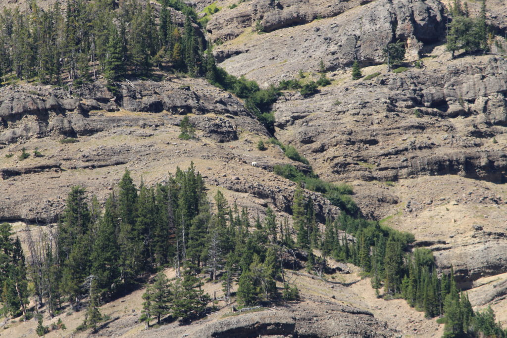
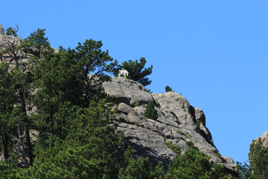
We left the picnic area and headed further up the Northeast Entrance road until we crossed the border leaving Wyoming back into Montana. Shortly after that we turned around and headed back. On the return we stopped at a scenic pullout next to Barronette Peak and spotted a couple of Mountain Goats grazing on the rocky mountainside.
Barronette Peak
Mountain Goat (Zoom)
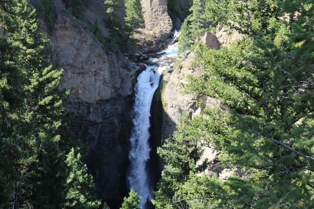
On the way back we stopped off at Tower Fall and walked the 150 yards from the parking lot to the viewing area. Once again, this picture doesn’t do it justice. We had a great first day in Yellowstone and are looking forward to the next one.
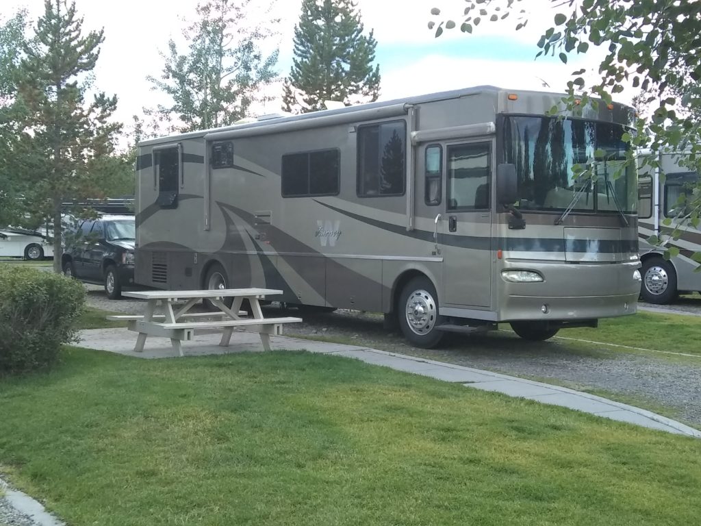
Today we arrived at Grizzly RV Park in West Yellowstone, MT just outside the West entrance to Yellowstone National Park. We came in to the West side from the North via US-191 out of Bozeman, MT (another beautiful drive) in order to avoid both major grades (hill climbs) and having to crawl through the National Park in an RV at 45 MPH. We surpassed our 4,000th mile in the RV on this trip in Billings, MT and to celebrate we stopped at a Sam’s Club that Beth found just off of I-90 that was selling diesel fuel for $2.49/Gal. This was the lowest price we’ve paid so far on the trip and the word was out because we had to wait in a line about 6 deep at the diesel fuel pumps. It was certainly worth it. The stations on the corner a block away were all selling diesel fuel for $2.91/Gal so at 58.5 gallons, we saved a sweet $24.57. We’ll need that extra money because staying at a high end RV Park this close to the entrance of Yellowstone ain’t free.
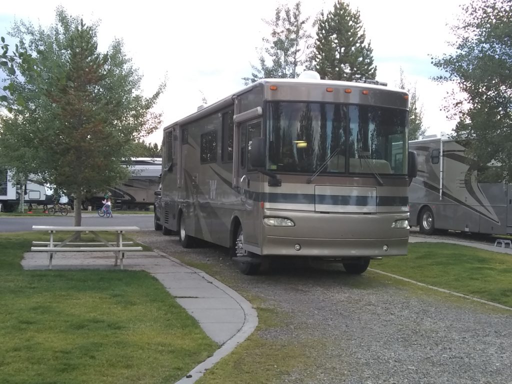
This is a very nice RV Park. All the streets are paved and the sites are packed gravel with irrigated green grass and landscaping between sites. Each site has 50 Amps and sewer hookups. There are over 300 sites in the RV Park (plus cabins) and we made our reservations in January in order to ensure we got a site.
Yesterday we headed West again taking US-16 out of the West side of Custer State Park, catching US-85 North to Wyoming 585 and eventually hitting I-90 just long enough to exit on US-14 and head for Devils Tower National Monument. This took just over 2 hours in the RV and the scenery was incredible (I have a feeling that I’m going to be stating this frequently for the rest of the trip).
At Devils Tower we were fortunate to arrive early enough to get RV parking up close to the Visitor’s Center, so we didn’t have to unhook the car and drive in from one of the remote RV parking locations. We grabbed two bottles of water and headed off to hike the trail around the massive hunk of rock. When we got to the trail entrance, we realized that we had forgotten our camera and went back to get it. The first hill from the entrance to the beginning of the trail circling the monument had a fairly steep grade and had us gasping for oxygen, but after that it wasn’t bad at all. It’s an amazing site from up close (and a distance) and well worth the 1.3 mile walk around it. At just under half way around we got to the side that the climbers like. Those people are crazy. We didn’t think we’d need our big camera lens so we didn’t bring it along, but if you zoom in on a couple photos you can see the little spots (one wearing an orange shirt) climbing the rock. Even if you haven’t watched Close Encounters of the Third Kind, this National Monument is well worth the visit.
View from Visitor’s Center
Closeup from Visitor’s Center
Zoom to See Climbers
Brian and a Huge Boulder
Another View
South View of the Valley
Beth at Devils Tower
We wanted to eat lunch before we left the monument, but didn’t want to consume a valuable RV parking spot, so we moved to a scenic pullout on the road out of the park next to a Prairie Dog town. They were fun to watch while we ate our lunch and we thought our cats would be very entertained, but they seemed more interested in what we were eating for lunch.
Prairie Dog Town
After lunch we worked our way back to I-90 and continued West through Wyoming and into Montana. We stopped for two nights at 7th Ranch RV Park not far from the Little Bighorn battlefield where Custer made his last stand. It was 93 degrees when we pulled into the campground, but it was definitely a dry heat and didn’t feel bad at all. This will likely be the last hot day we experience for the next few weeks. This was a nice campground with 50 Amps and sewer hookups at every site. All sites were pull through and the bathrooms were immaculately clean with wonderful showers.
Today Beth elected to stay in the campground and get caught up on laundry while I visited the Little Bighorn Battlefield National Monument located at the next exit. This park was interesting and after watching a very theatrical presentation by one of the park rangers (I swear he almost broke into tears at one point), I took a drive along the 4.5 mile tour road to the Reno-Benteen Battlefield (where a secondary battle occurred). The drive was very scenic and I actually got to see a couple of local ranchers herd a large group of horses across the road in front of me (the tour road travels through privately owned ranch land).
After touring the monument I drove about 16 more miles into the town of Hardin, MT to stock up on groceries at the local IGA. This shopping experience required a call home to discuss the nearly infinite selection of cat foods available to the consumer. I also fueled up the car so that we wouldn’t have to worry about it in Yellowstone. I will neither confirm or deny any accusations regarding a pit stop at McDonald’s.
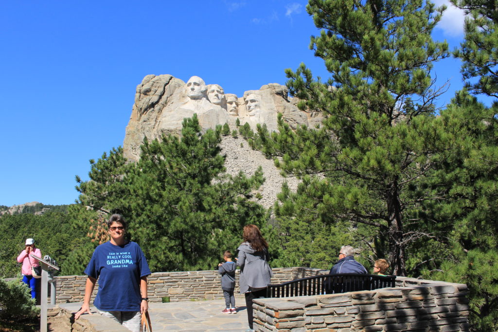
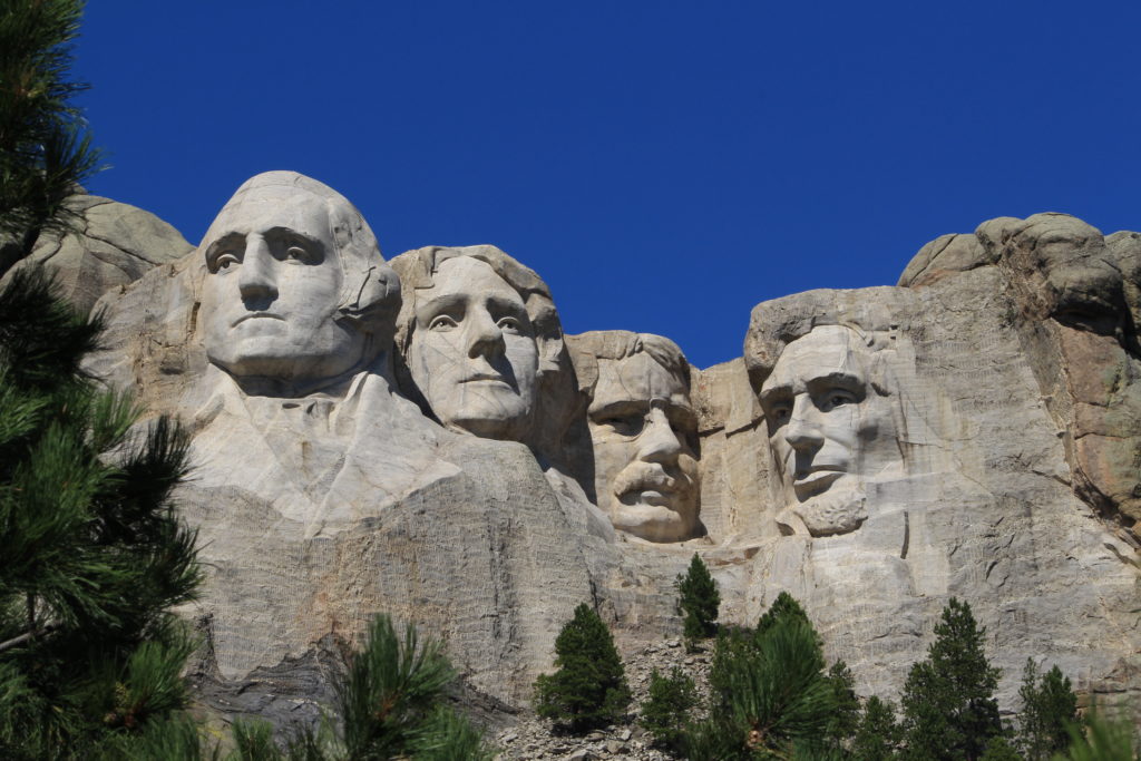
Today we visited the Mount Rushmore National Memorial. Although certain portions of the park were closed due to construction, none of it blocked the incredible views. We didn’t want to miss any of the great views, so once we took in the main view from the entrance, we walked the Presidential Trail which was also partially impacted by construction. This means that instead of enduring the normal 422 steps, we were limited to 240. However, this also means that we did 480 steps round trip since we had to go back down the 240 we climbed (so I’m not sure which was worse). Now let me tell you, 480 steps was bad enough, for those of us who live at sea level, but traversing them at an elevation 5,725 feet required numerous stops to suck in oxygen. It didn’t matter how many times we clocked 2 to 3 mile hikes in 90 degree heat in Sun City Center, the Presidential Trail was still a major workout. Then compound it with the fact that two days prior we burned up our quadriceps hiking the log ladder on the Notch Trail in the Badlands. For the next couple of days we will be moaning when we climb the steps into the camper. On a positive note, the temperature while we were at Mount Rushmore was about 60 degrees which was delightful.
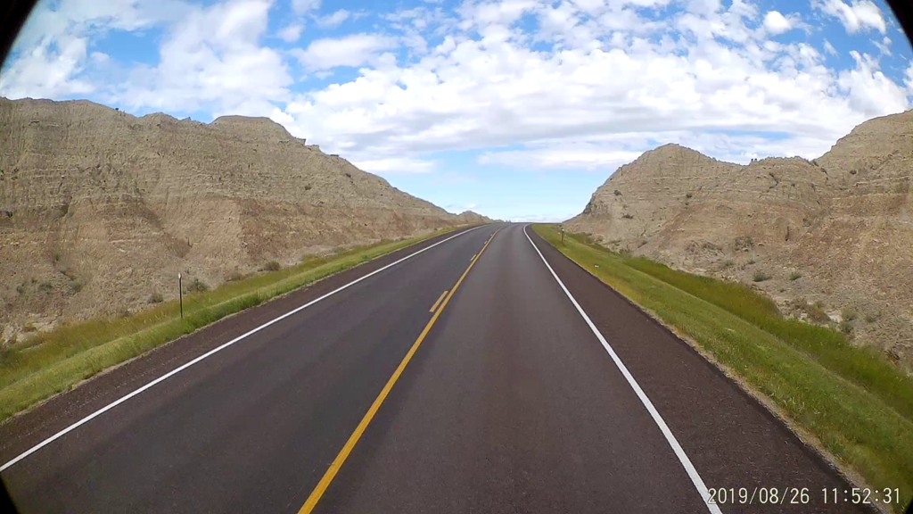
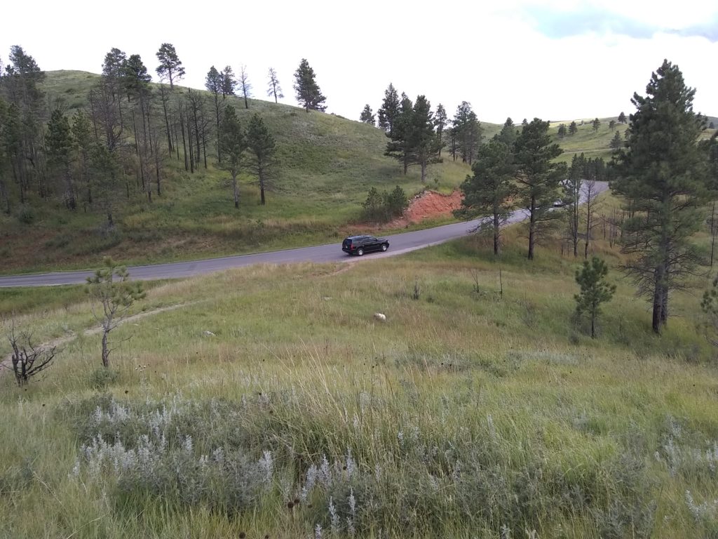
We had a short trip Monday from The Badlands to Custer State Park in the Black Hills. We took SR-44 West out of the Badlands Motel and Campground to Rapid City and then Bypass 16 to SR-79 which intersected with SR-36 which takes you right into Custer State Park. SR-44 was one of the most scenic drives we’ve taken. It runs parallel to the Badlands on the South side and eventually crosses a portion of the National Park as the park jogs to the South. A very heavy thunderstorm rolled through the previous night and it was very windy today. Fortunately, SR-44 is very desolate and we had the entire two lane road to ourselves most of the time.
South Dakota SR-44 – Badlands
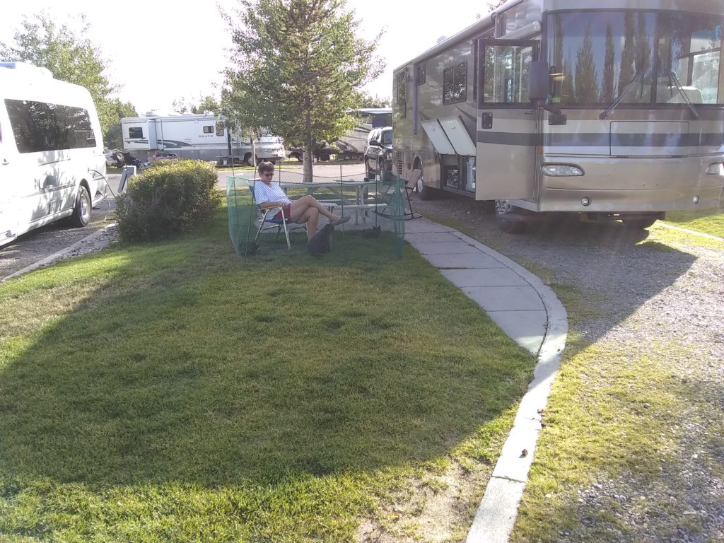
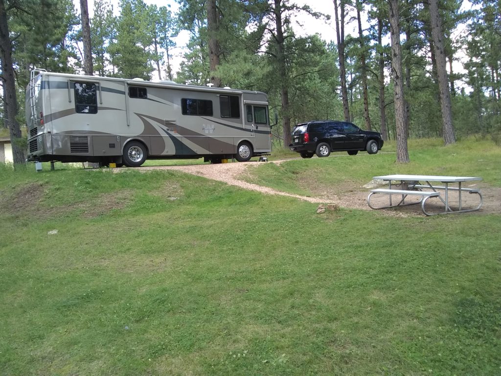
Custer State Park is incredibly beautiful and we crossed a major portion of it to get to the Stockade Lake North Campground which is closer to the West side of the park. Our local campground ranger assured us we were in one of the two best campsites in the campground and we certainly agreed. Site #23 was huge and very private. The cats got to sit outside in their portable cat habitat both evenings and thoroughly enjoyed it. We had campfires both nights.
Custer State Park Site #23
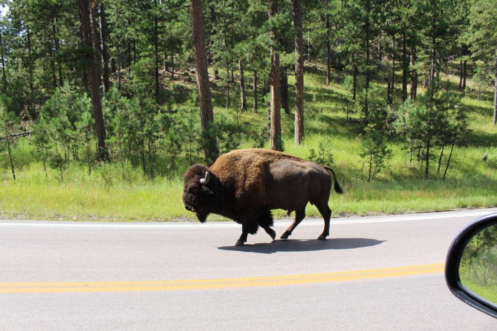
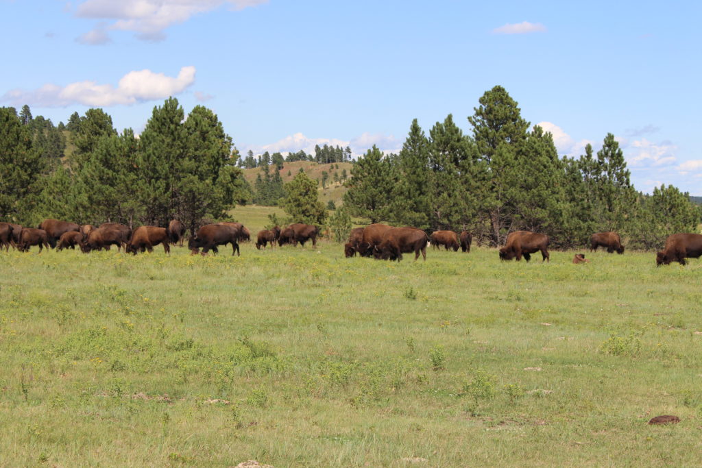
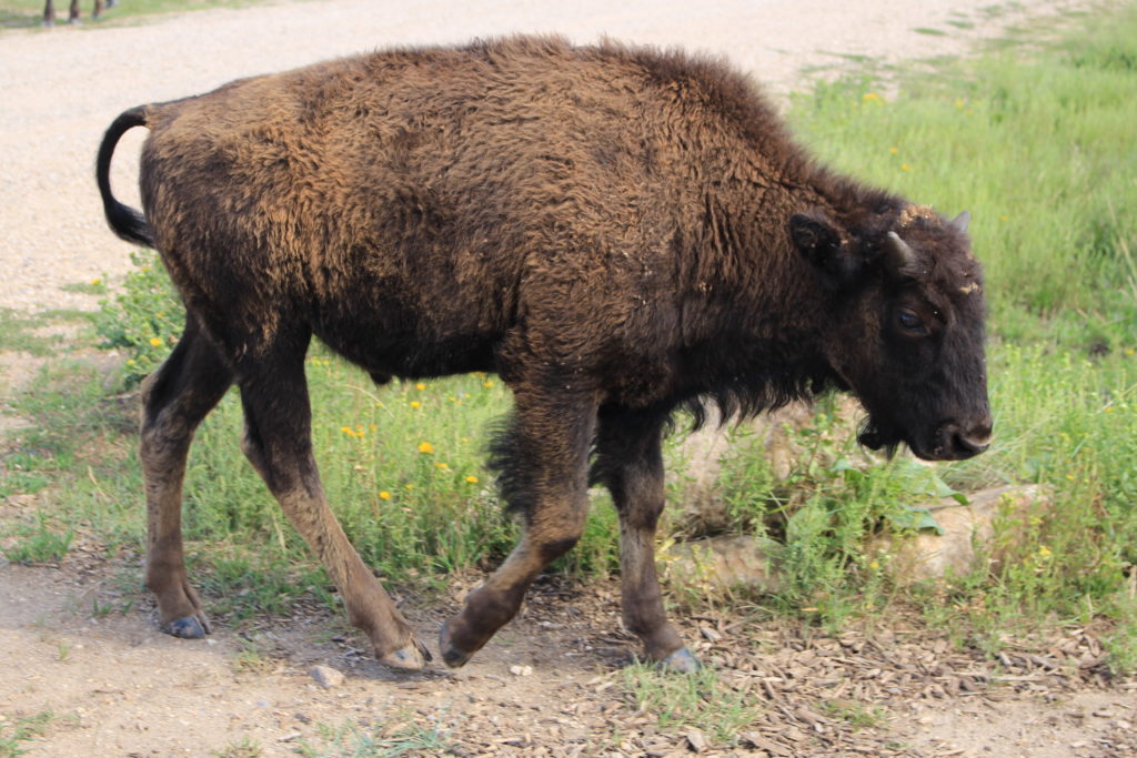
After arriving and setting up camp on Monday we chose to drive the 18 mile Wildlife Loop Road. This road lived up to its name from the very beginning. For starters, as we traversed back East along the main park road (16-A) we encountered a very large male buffalo grazing along the road by itself. We stopped, took pictures, and watched as it meandered right by our car without a care in the world. Within the first couple of miles on the Wildlife Loop Road we spotted a large heard of Buffalo grazing near Custer State Park’s airport so we turned the car around and drove up the airport road. The herd was heading down a dirt side road so we, along with many others did the same. We eventually moved ahead of the herd and pulled off on a gravel pullout between two boulders and watched them graze. The herd eventually reached us (they move along as they graze) and a small calf stopped by our car to scratch its head on one of the boulders. Soon after, a large adult (which we think was a parent) stopped to scratch as well. This took place about 5 feet from our car door (see video). We have named them “Itchy” and “Itchy Jr”).
Itchy and Itchy Jr in Action
“Ned” the Loaner
Grazing Buffalo
Little Whipper
Wow!
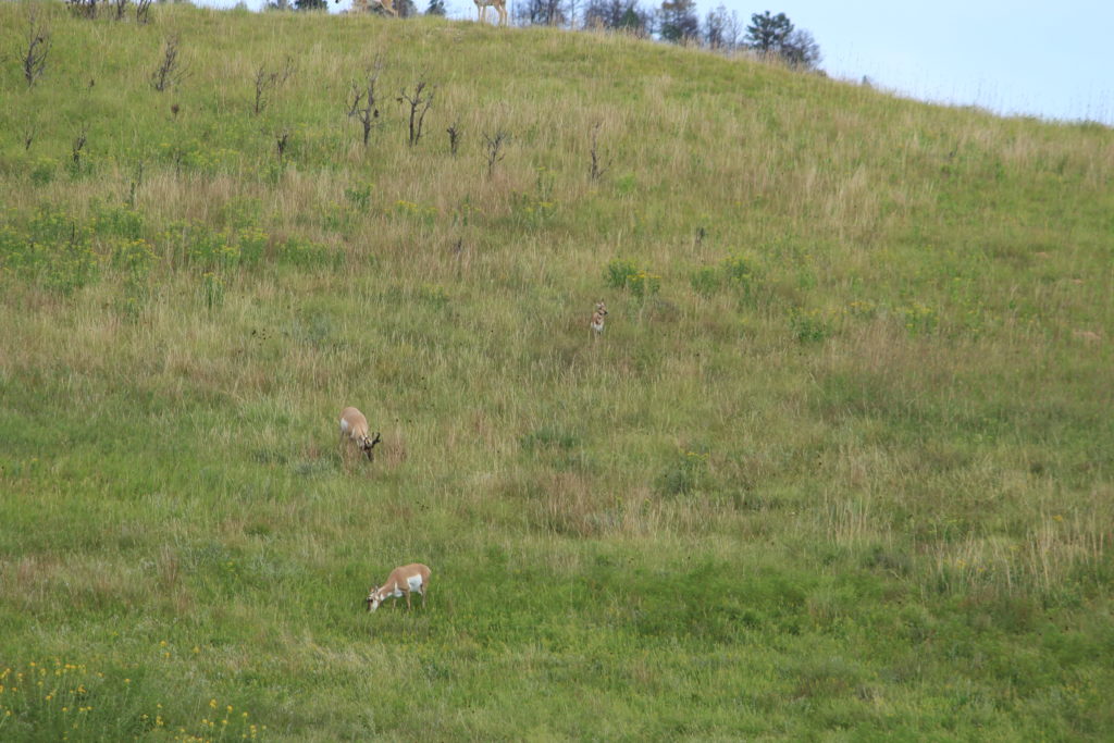
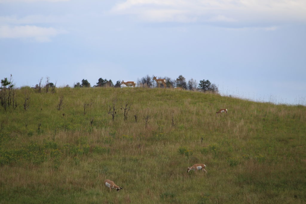
Shortly after encountering the herd of buffalo, we spotted what looked like deer on the side of a hill and stopped to watch them. We think they were Pronghorns and we watched the group of them for a bit.
Pronghorns
Pronghorns
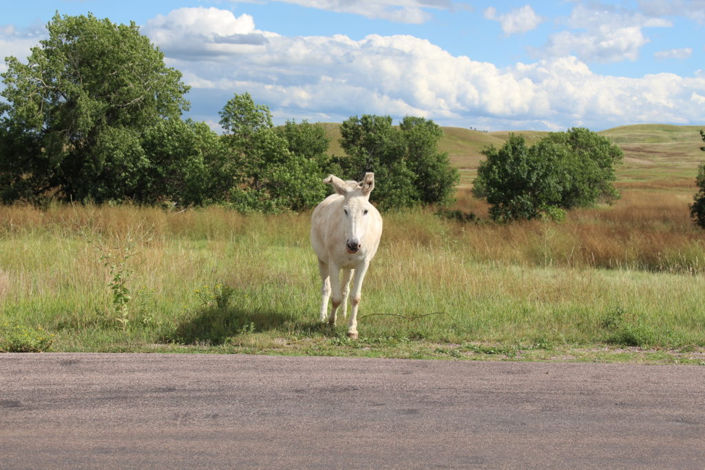
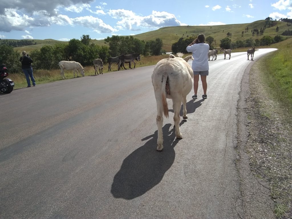
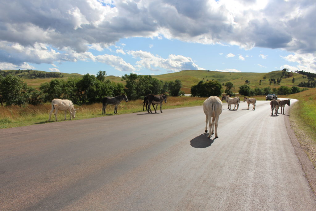
Next we encountered a group of what the park refers to as “feral” burros. They seemed anything but feral. They weren’t the least bit afraid of cars or humans. We got out of the car to take pictures and a white one came right up to me. I wanted to pet it, but elected to follow park rules and keep my hands to myself. By this time, Beth had moved forward about 20 yards to take pictures of the other burros. Since I didn’t pet this white burro, it locked its radar in on Beth and slowly worked its way up behind her. She had her arms up taking pictures and it passed with it’s head right under her left arm and then nudged her with its side as it passed by. Beth’s reaction was priceless. She got strafed by a “feral” burro that just needed some love. Like me, she wanted to pet it, but chose to stick to the rules and keep her hands to herself.
View from a Scenic Overlook
On the backside of Wildlife Loop Road, we spotted another group of Pronghorns on a hillside and stopped to take some pictures. We encountered two more herds of buffalo grazing before we completed the loop.
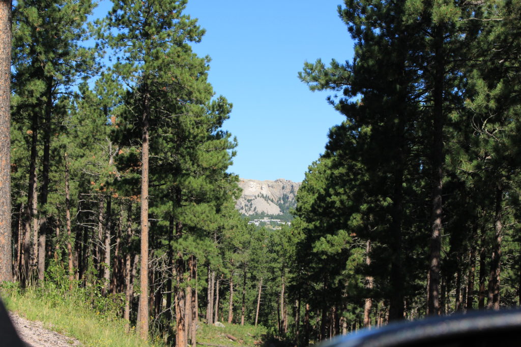
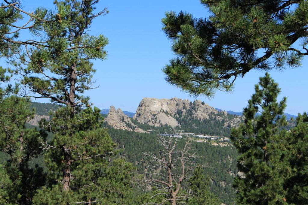
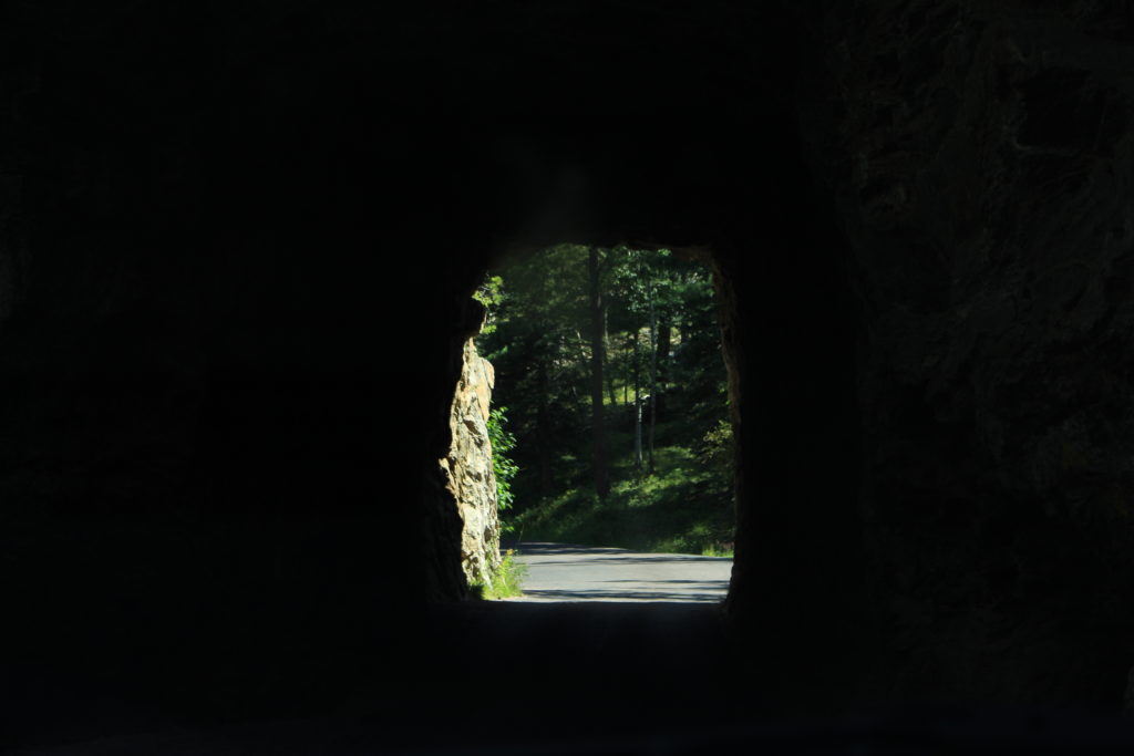
The next day we headed off to Mount Rushmore via the 17 mile Iron Mountain Road. This was another great drive with incredible scenery along with major elevation changes. The best parts were passing through two one lane tunnels (barely big enough for a car) that each framed Mount Rushmore in front of you as you passed through.
Tunnel
View of Rushmore from End of Tunnel
View of Rushmore
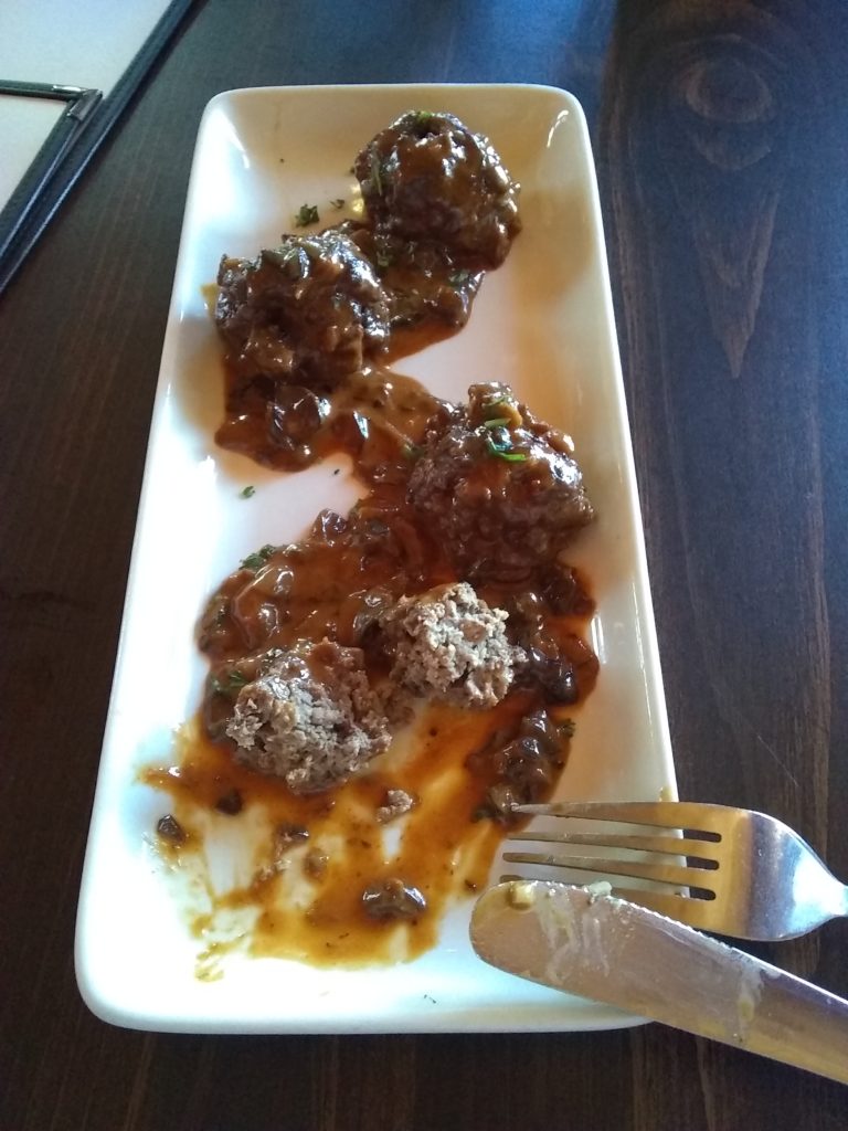
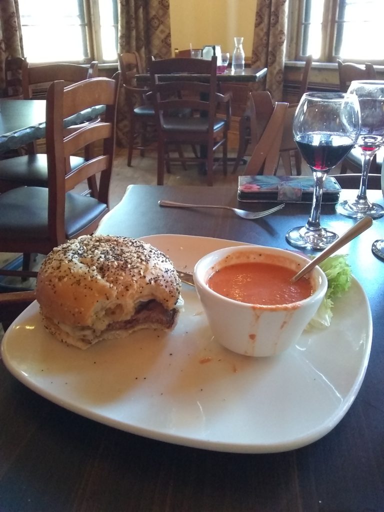
On the way back from Mount Rushmore we drove the 14 mile Needles Highway. This was a very narrow road with even smaller tunnels to pass through (one of them is just 8′ 4″ wide). Having met our two new buffalo pals (Itchy and Itchy Jr) the previous day, Beth decided it was time we tasted some buffalo meat (who’d a thunk???), so she determined that the Sylvan Lake Lodge’s restaurant along Needles Highway would be the best place to give it a try. Now you all know that I love to try new foods (NOT!), but I’ll have to say that the Buffalo Meatball appetizer at the lodge was to die for. As for the meat, it tastes just like chicken. Well, not really, tasted a lot like beef, just not quite as moist. But the sauce that covered the meatballs was unbelievable. Once again, if I had read what was in it (sour cream, etc) I probably wouldn’t have eaten it, but it had just the right amount of spice (almost at my heat limit) to be just perfect. Beth loved it enough to order a buffalo burger for her main entree and was very pleased.
Buffalo Meatballs
Beth’s Buffalo Burger
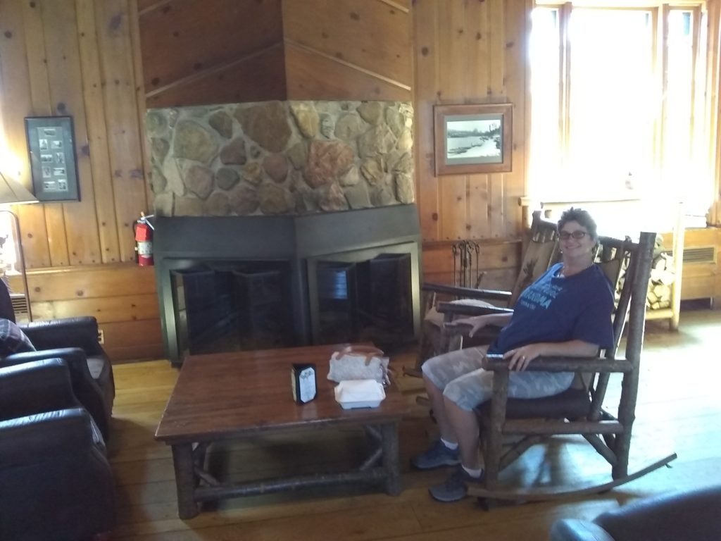
Beth Hang’n at the Lodge
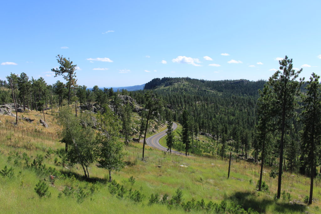
View from Lodge Parking Lot
View from Tunnel on Needles Hwy
That’s all we had time for in our day and a half in Custer State Park. We definitely hope to return and next time we will stay longer. It is now one of our favorite places.
We arrived on Saturday and after getting the camper parked and setup, we elected to head back out the East entrance of the National Park so that we could jump on I-90 West and stop off at the town of Wall, SD to visit the famous Wall Drug Store. After seeing non-stop signs advertising the Wall Drug store along I-90 for well over 300 miles, we felt we owed them a visit. It’s definitely a tourist trap, but worth seeing at least once. We purchased a couple of trinkets (which we didn’t think were badly priced) and I enjoyed a delicious vanilla soft ice cream cone before we departed.
From there we re-entered the National Park from the West side and drove the South Dakota 240 scenic loop through the park and back to the campground. Just prior to re-entering, we pulled off of the road and watched three bison (buffalo) graze and the lay down. Shortly after pulling back onto the road, we encountered a fairly sizeable Prairie Dog town. There were hundreds of prairie dogs and they were all on alert although cars didn’t seem to bother them. Once we got inside the park we stopped at several scenic overlooks (which were all incredible). We also pulled off the road and watched a group of bighorn sheep graze in a field adjacent to the highway.
Beth of the Badlands
On Sunday we started the morning early (because we’re still on Eastern time) and we were glad we did because the temperature eventually reached 91. We went directly to the trailhead for the Notch Trail. Although it’s only a 1.3 mile (round trip) trail, it’s considered “moderate” due to the amount of climbing (including a a log ladder climb up a cliff wall). The ladder and several portions of the trail along cliff edges aren’t for those afraid of heights. Based on this, I wasn’t sure Beth would be willing to hike the trail. We even encountered one down hill drop (and switchback) that was very unnerving from a visual perspective (it looked like you’d go over the cliff if your footing wasn’t perfect), and she was quite concerned but handled it perfectly. The effort was worth it for the view once we reached “the notch” which overlooked the valley below. The view was incredible and we could actually see our campground from it. The return trip was much easier (I guess we were used to it) until we reached the ladder again. We had to climb back down the ladder backwards which was not a comfortable exercise. Once we got about one third of the way down it got easier, but our quadriceps were burning.
Notch Trail Ladder
Us at the Notch
Notch View Toward Campground
View of the Notch from Below
That was it for our Badlands hiking adventures. On the way to the Visitor’s Center we pulled off the road and devoured the delicious sandwiches that Beth was kind enough to make and haul in her backpack all the way in and back out of the hiking trail.
View from Lunch Stop
From there we checked out the Visitor Center and gathered as much Badlands knowledge as we could handle. All National Parks were celebrating the 103rd anniversary of the National Park Service on Sunday by allowing free entry into the park and providing free cake and Ice cream. I partook in the cake and ice cream and it was delicious.
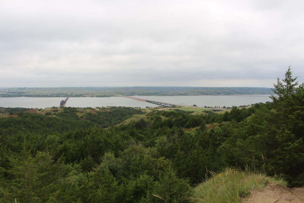
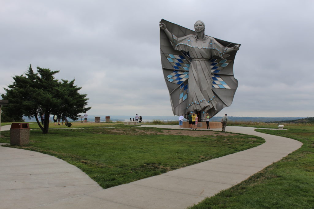
Today we continued our migration West to the Badlands. We clocked our 3,000th mile on this road trip and entered the Mountain time zone. We stopped at the Rest Area on the East side of the Missouri River to visit the Lewis and Clark Interpretive Center (located at the Rest Area). Although it was a cloudy day, the views of the Missouri River were excellent and we were glad we took the time to stop and visit.
Railroad Bridge and I-90
Sacagawea
From there we headed on to our campground just South of the Badlands National Park. I guess my research on this portion of the trip was a bit “lacking”, as it turned out that we had to enter Badlands National Park in order to get to our campground. Since this was the first National Park we were entering on this road trip, we splurged for an Annual Pass knowing that we have several more National Parks ahead of us. From there the fun started. When you enter the park at the Eastern entrance, you quickly hit the steep downhill switchbacks with minimal shoulder. This seemed to make my co-pilot quite nervous and any attempt on my part to enjoy the incredible scenery was met with a stern lecture about keeping one’s eyes on the road.
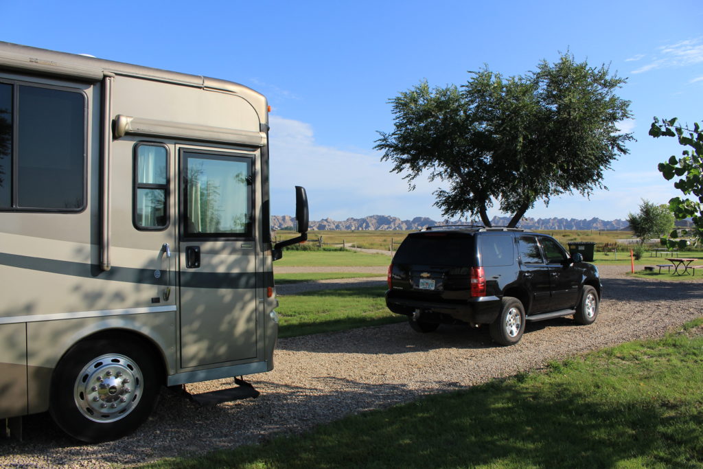
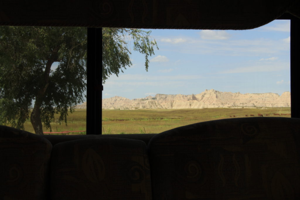
We arrived at Badlands Motel and Campground without incident. This campground is all about location. We had beautiful scenery of the Badlands from our camper and we could actually see the National Park entrance out our front window. The sites were large with plenty of space between campers, but for some strange reason the 50 Amp sites didn’t have sewer hookups. We didn’t know what to expect the temperatures to be so we chose a 50 Amp site (so we could run both air conditioners without concern) just in case it got hot and we’re glad we did as it got up to 91 degrees on Sunday. We used the campground showers on Saturday (which could have used a good scrubbing) and our own on Sunday. The best part is that we were in dark sky country. I took my shower after dark on Saturday and needed my cell phone flashlight to find my way.
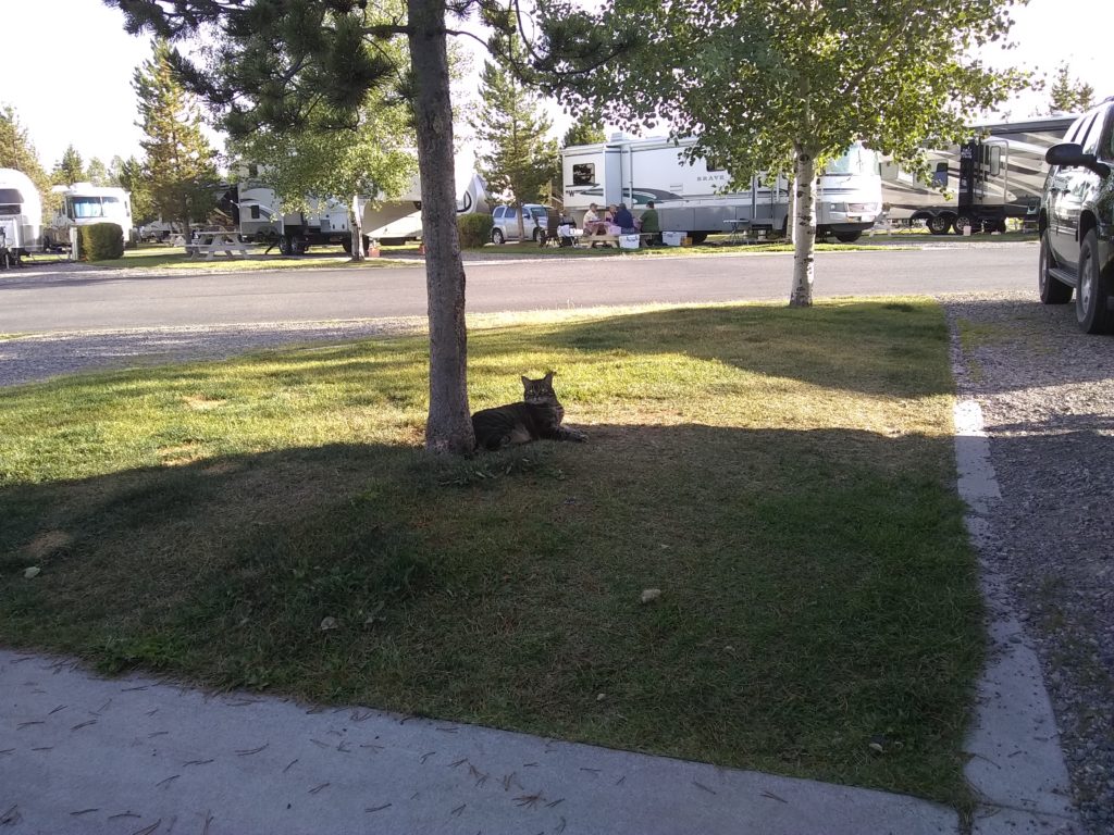
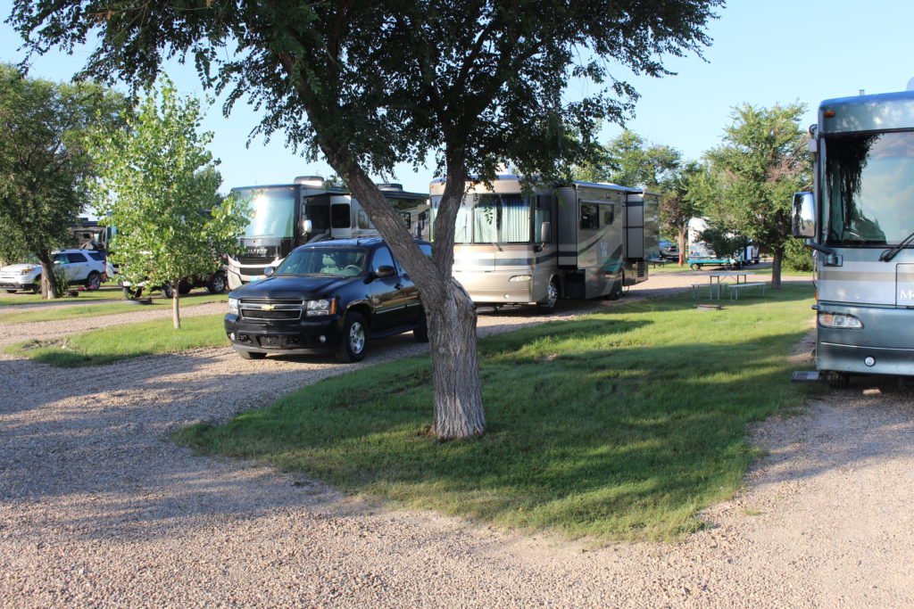
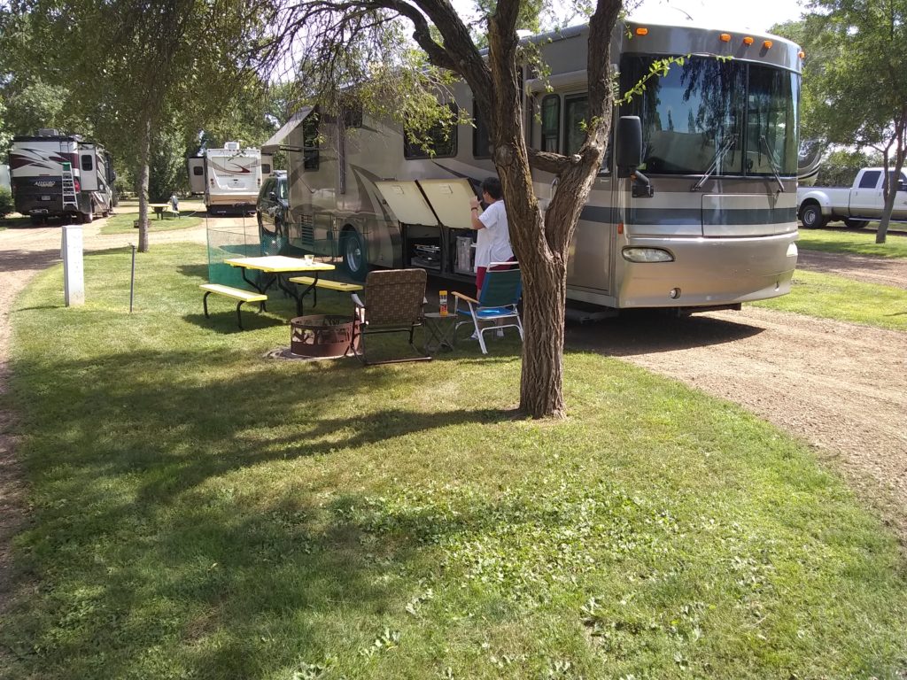
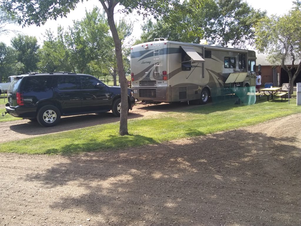
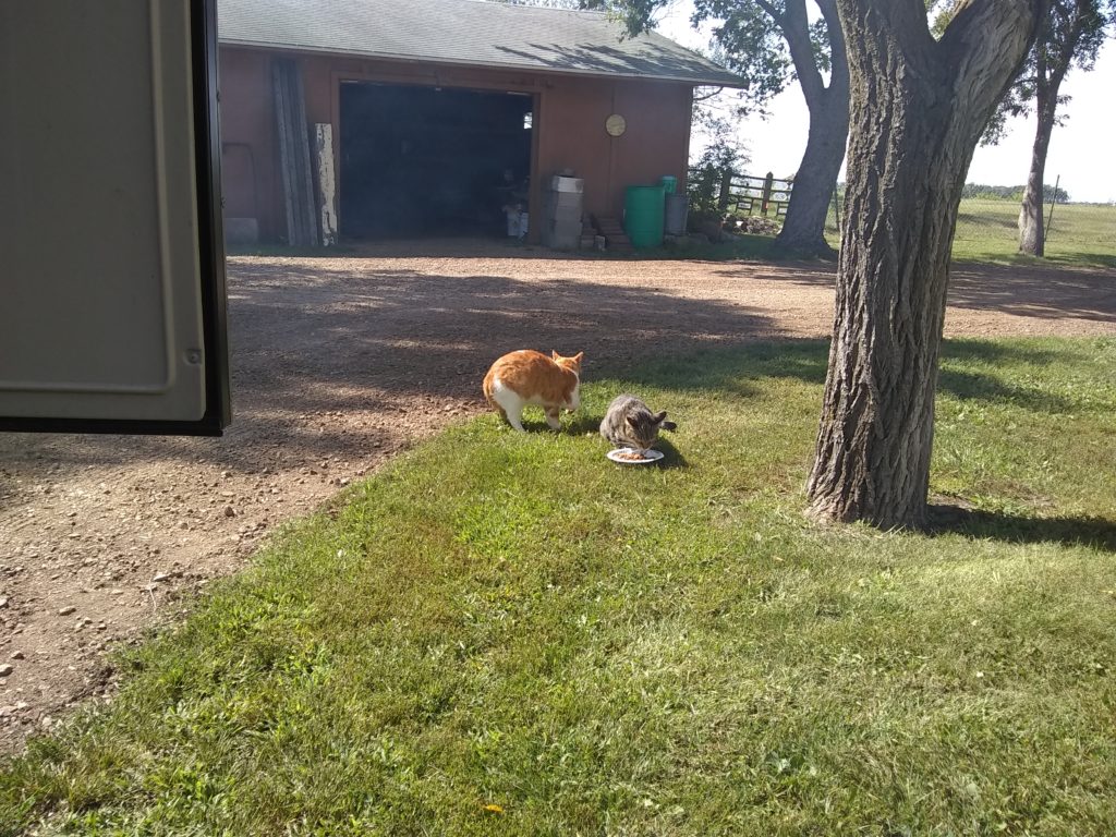
We continued heading West again today on I-90 and landed about an hour into South Dakota. We are staying at Dakota Sunsets RV Park and Campground. This is a nice campground with friendly owners. The roads and site pads are dirt/gravel so it might be a bit muddy here if it rains, but that’s not a problem today. They have nice manicured grass between sites so we setup the cat habitat again today so the crew could enjoy some outdoor time. They did fine until they saw the cats that live in the tool shed across the drive from our campsite. We had to put them back in the camper and before I knew it a plate of cat food had appeared at the end of our site (I wonder where that came from?). We will be heading for our campsite near the Badlands first thing in the morning.